Back
AI & Big Data

Using Satellite Data, Atla.ai Delivers Smarter Solutions for Precision Agriculture

Share

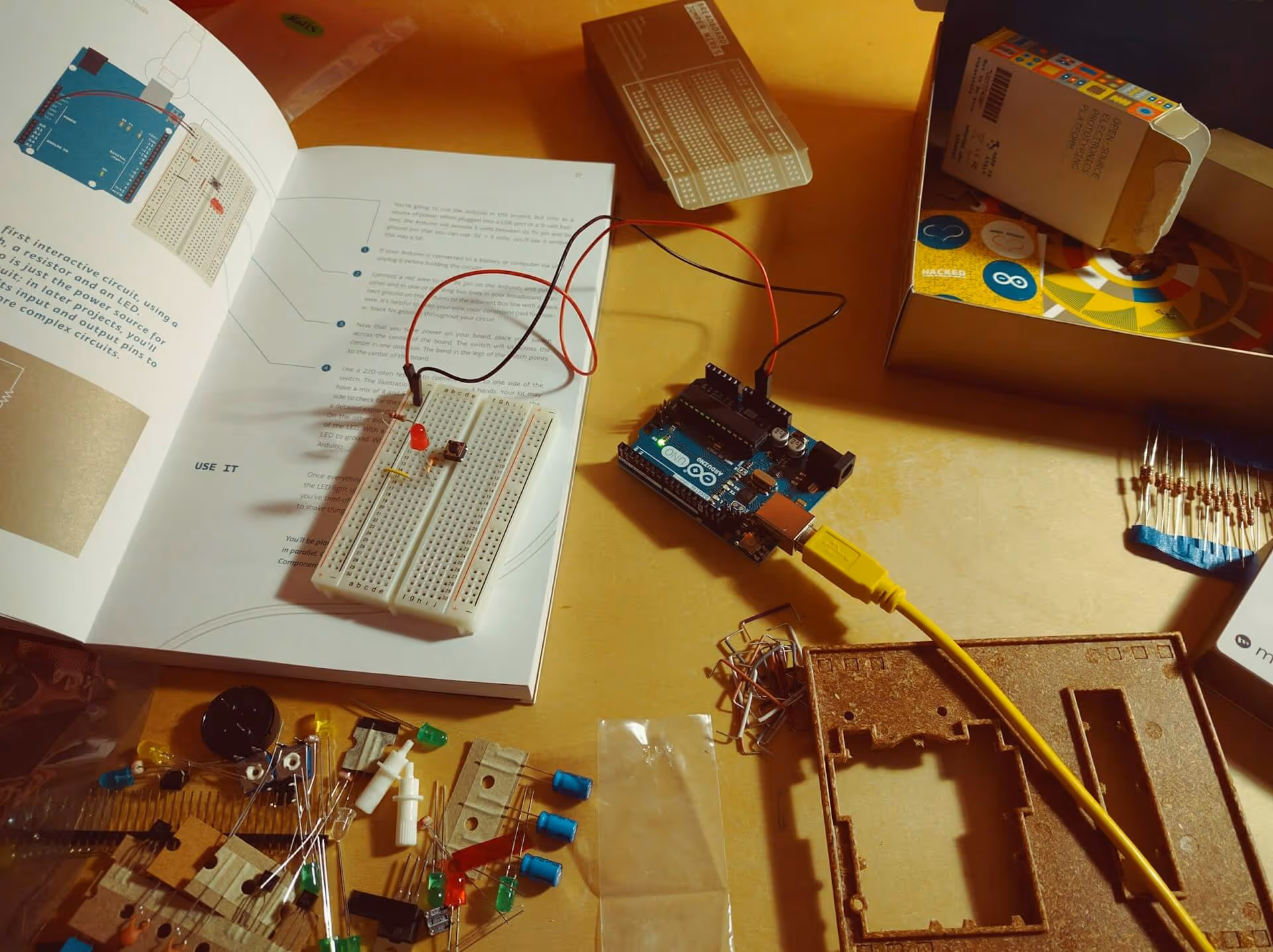
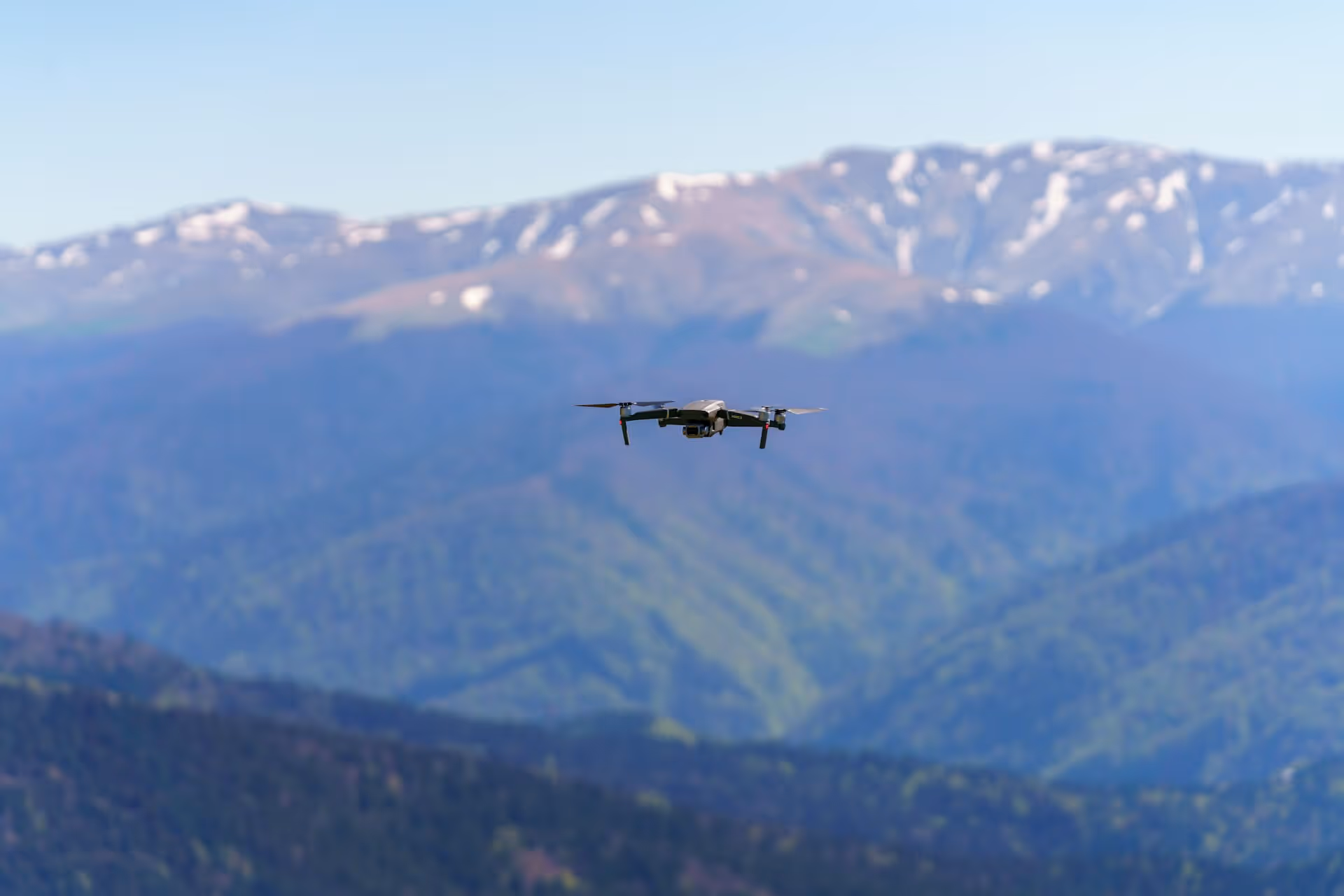
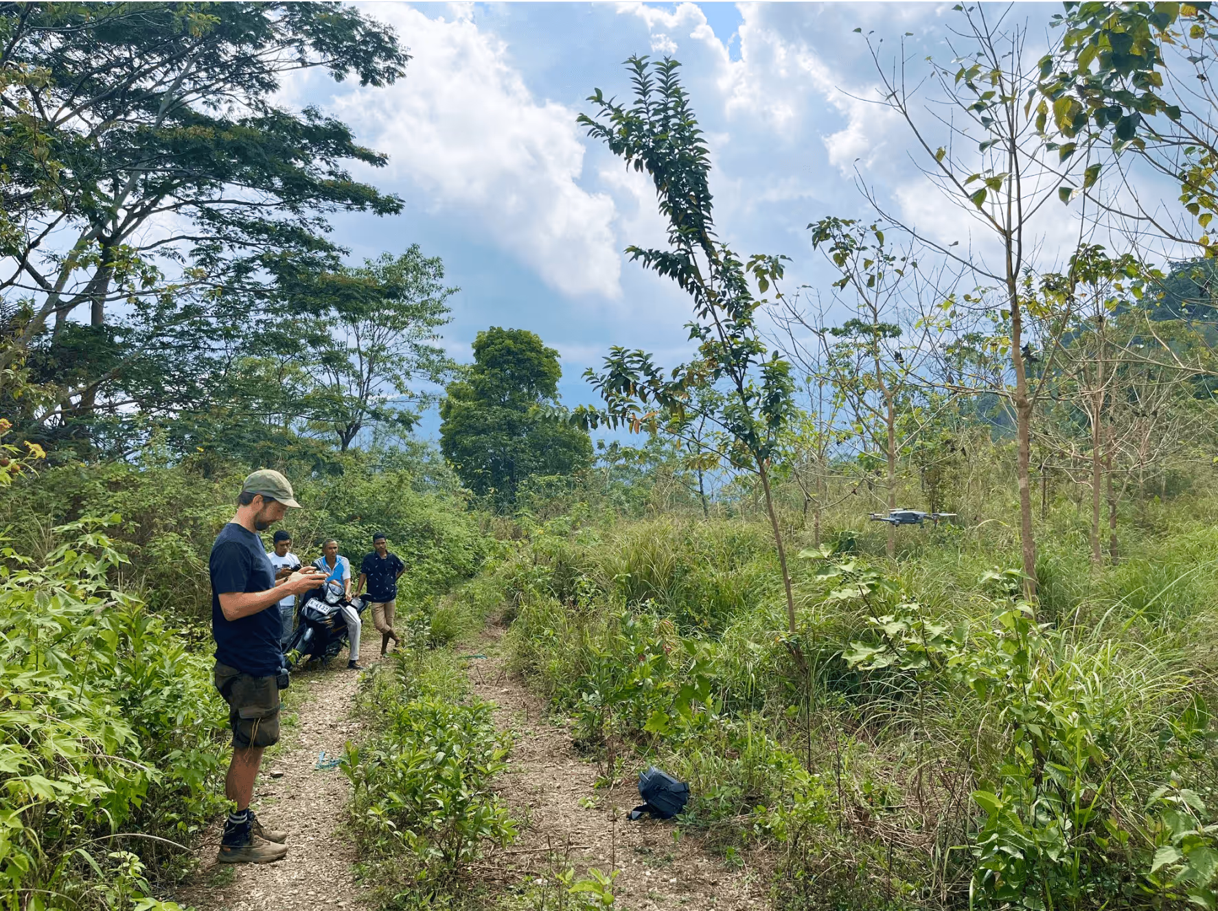
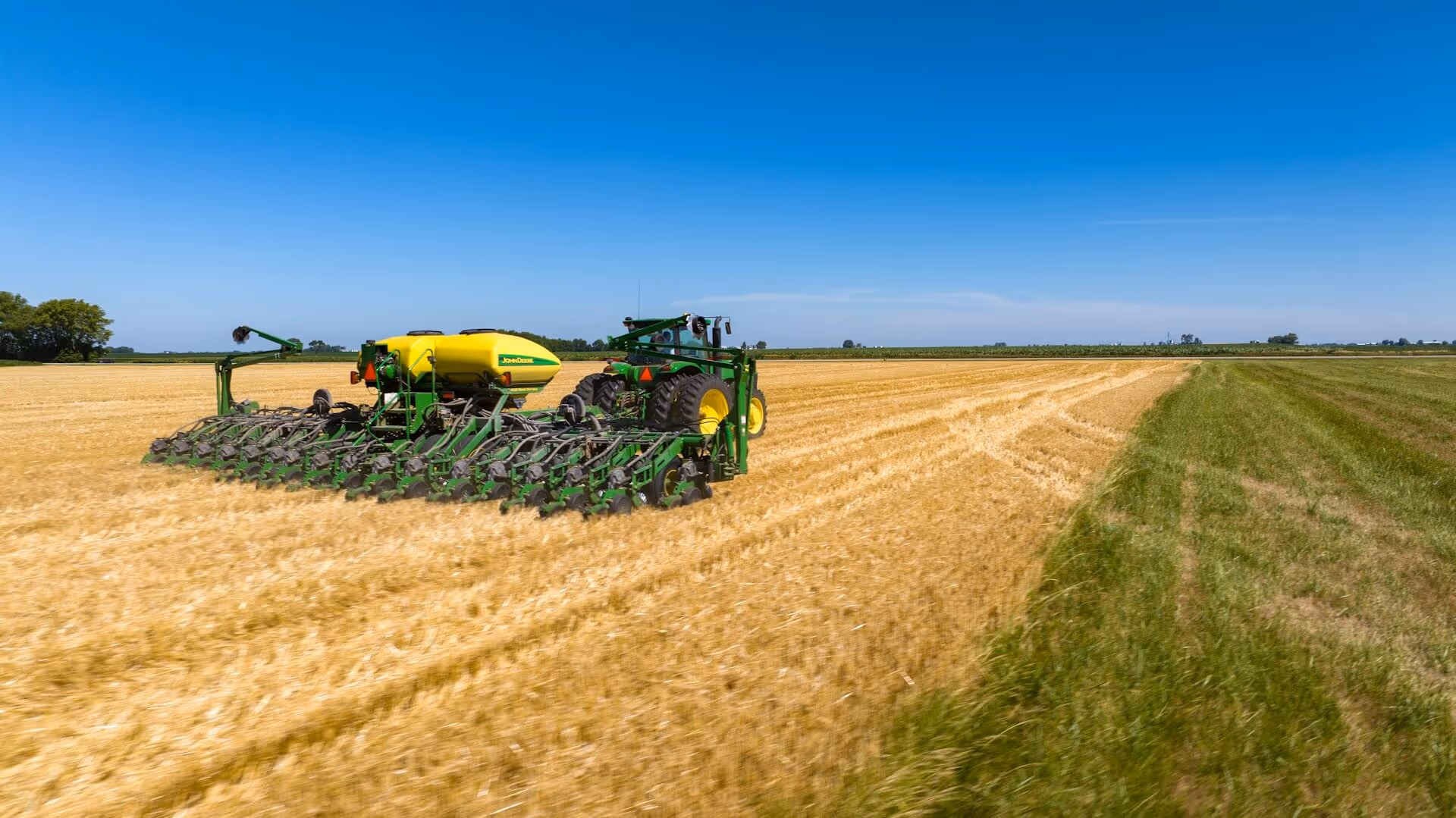
Atla.ai is a Danish company that uses artificial intelligence to enhance agricultural practices. By utilizing satellite data, Atla.ai helps farmers make better, data-driven decisions on crop management, soil health, and water usage. Their AI platform processes satellite imagery to deliver actionable insights that improve yields, reduce waste, and promote sustainable farming practices. By integrating space-based data with AI, Atla.ai is transforming how agriculture operates, bringing precision farming to the forefront of the industry.

Improving crop monitoring and efficiency

The ability to monitor and manage crops with greater accuracy helps farmers optimize their operations, reduce waste, and lower input costs. By leveraging satellite data and AI, the industry can make more informed decisions about crop health, resource use, and field management, ultimately boosting productivity.

Moreover, the ability to monitor environmental impacts supports sustainability efforts, aligning with global goals for responsible resource use and reducing the industry’s ecological footprint. This shift toward precision agriculture ultimately benefits everyone involved in the agricultural ecosystem, by fostering a more sustainable and efficient food production system .

Curious about how AI can power space tech solutions?

Atla.ai is a great example of how satellite data combined with AI can improve efficiency, sustainability, and decision-making in agriculture.

ESA’s network of Technology Brokers helps companies like Atla.ai discover the possibilities within space technology and utilizing them to their full potential. Contact us to learn more.

Read more about atla.ai here
Sif Skov Velling
ESA BIC Student Assistant

Related articles

Manufacturing
ThiaX

Jul 24, 2025

Case study
Drones & Robotics
Tess Space

Case study
AI & Big Data
Security
Scurid

Case study
Drones & Robotics
O-Robotics

Case study
AI & Big Data
Byte2BitInsight

Case study
Environment
Animal Detect

Case study
Drones & Robotics
Security
AirPlate

Case study
Agriculture
Agro Risk

Case study
Drones & Robotics
AgriRobot

Case study
Healthcare
Adina Technologies

Case study
Drones & Robotics
Acodyne

Case study
Drones & Robotics
Agriculture
NAUST Robotics

Case study
No items found.
Lightnovo

Case study
N/A
SAGA Space Architects

Case study
N/A
Space Composite Structures Denmark

Case study
Drones & Robotics
Skypuzzler

Case study
N/A
StepUp Horse

Case study
Drones & Robotics
Aerial Tools

Case study
Infrastructure
Social Tech Projects

Case study
N/A
Spiromagic

Drones & Robotics
Klarifi

Case study
Agriculture
KARL

Case study
Healthcare
CHEXS

Case study
Maritime
Upteko

Case study
Fintech
Ekofolio

Case study
Healthcare
NaviBlind

Case study
Drones & Robotics
QuadSAT

Case study
Infrastructure
Copenhagen Trackers

Case study
Maritime
Sternula

Case study
Agriculture
Fauna Smart Technologies

Case study
Drones & Robotics
Capra Robotics

Case study
Agriculture
ClearSky Vision

Case study
Drones & Robotics
Vixos

Case study
N/A
Be MarS

Case study
Maritime
DanaDynamics

Case study
Agriculture
Drones & Robotics
Akson Robotics

Case study
N/A
Glaze Technologies

Case study
N/A
Pilar

N/A
North Propulsion

Case study
Environment
Peatz

Case study
N/A
ATLANT 3D NANOSYSTEMS

Case study
Maritime
Searchmaster

Case study
N/A
QASE Technology

Case study
Environment
Drones & Robotics
Security
Robotto

Case study
Security
Maritime
How Danish Company Tordenskjold Uses Satellite Technology to Enhance Maritime Security

Case study
Maritime
Sensemakers is Transforming the Danish Maritime Environment Using Space

Case study
Manufacturing
From road to orbit: How AIRY’s additive manufacturing for EVs is now building lightweight structures for satellites

Case study
Infrastructure
InnoPilot Leverages Space Technology to Keep Critical Infrastructure Safe and Connected

Case study
Healthcare
How Yuman frees up nurses using robots assistants integrated with GNSS

Case study
Fintech
From Space to Shipping Markets: How Danish Company Navi Merchant Uses Satellite Data to Predict Freight Prices

Case study
Environment
How Klimate uses space to verify forest carbon dioxide removal

Case study
Energy
Aerial Tools Uses Satellite Technology to Improve Energy Efficiency and Solar Maintenance

Case study
Drones & Robotics
How using satellite data helps HectoDrone to map environmental challenges and carry out surveillance in cold isolated areas like Greenland

Case study
AI & Big Data
Using Satellite Data, Atla.ai Delivers Smarter Solutions for Precision Agriculture

Case study
Agriculture
PerPlant Uses Space Technology to Make Precision Agriculture Accessible to All Farmers

Aug 1, 2025

Case study
All
What is a space connection?

Apr 28, 2025

Insight
Environment
Security
Drones & Robotics
17th European Space Conference - 'Galileo - The Next Generation' panel

Oct 5, 2023

Updates & Deadlines
Security
Manufacturing
Maritime
Fintech
Environment
How Danish Graphene proved their product in the space sector and got more clients on earth

Oct 4, 2023

Insight
Maritime
Tips for Sustainable Living

Oct 3, 2023

Webinars
Healthcare
Energy
Security
Innovations in Healthcare

Oct 2, 2023

Case study
Maritime
Drones & Robotics
Fintech
Security
AI & Big Data
Latest Technology News

Oct 1, 2023