Related Content

Contact Person

Amanda Borup Pedersen
ESA BIC MANAGER, DTU
Get in touch
What we do
Consultancy services
Programs
Prepare for space
.avif)

Contact Person

Poul zimmermann nielsen
ESA Technology broker, DTU
Get in touch
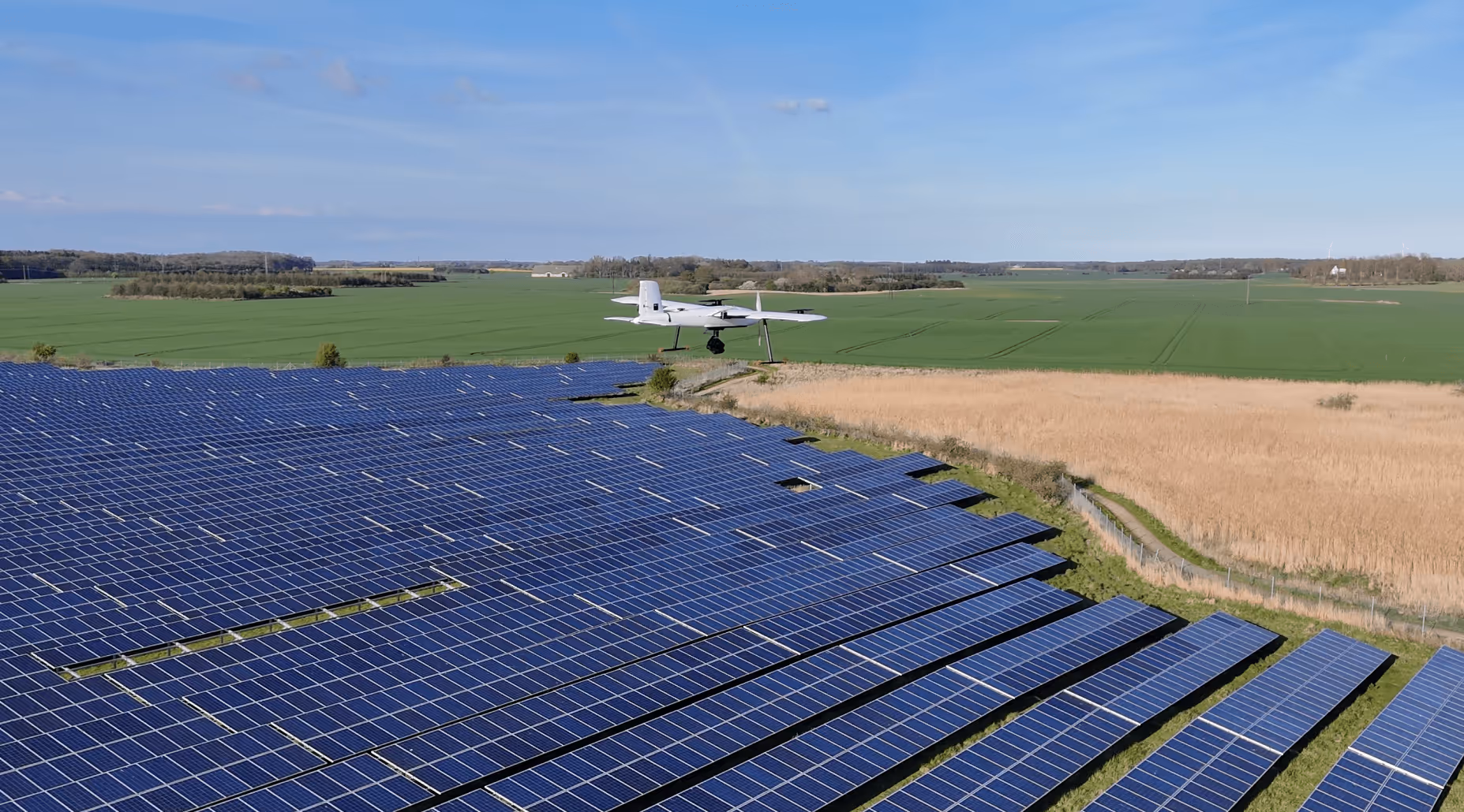

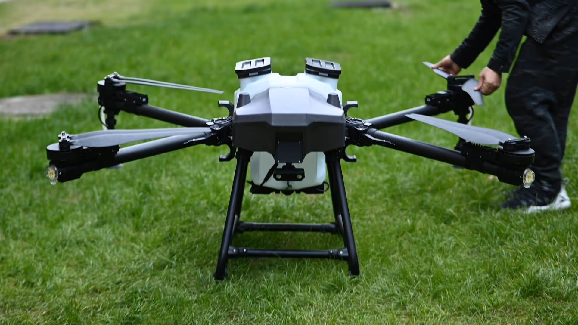
Aerial Tools ApS, a Danish tech company, is addressing the growing challenge of inspecting large-scale solar farms. As solar capacity expands rapidly across Europe, maintaining performance requires frequent inspections. Their solution, ANESI, uses autonomous drones combined with satellite navigation and Earth observation data to make inspections faster, more accurate, and less costly.
ANESI reduces inspection costs by up to 60% by replacing manual processes with autonomous drone operations. With high-endurance drones, RTK GNSS positioning, and onboard thermal imaging, the system can scan large solar parks with high precision. This allows operators to detect faults faster, optimize maintenance planning, and keep solar energy output at its peak.
Efficient energy solutions require advanced technologies. ANESI demonstrates how satellite-based navigation and automation can support the energy sector in achieving reliable and cost-effective operations.
If you’re working with energy and want to explore how space data or navigation tools can improve your solution, ESA BIC and ESA’s Technology Brokers are here to support you.


Jul 24, 2025
%202.avif)
%202.jpg)


%202.png)


%202.avif)


%202.avif)