Related Content

Contact Person

Amanda Borup Pedersen
ESA BIC MANAGER, DTU
Get in touch
What we do
Consultancy services
Programs
Prepare for space
.avif)

Contact Person

Poul zimmermann nielsen
ESA Technology broker, DTU
Get in touch
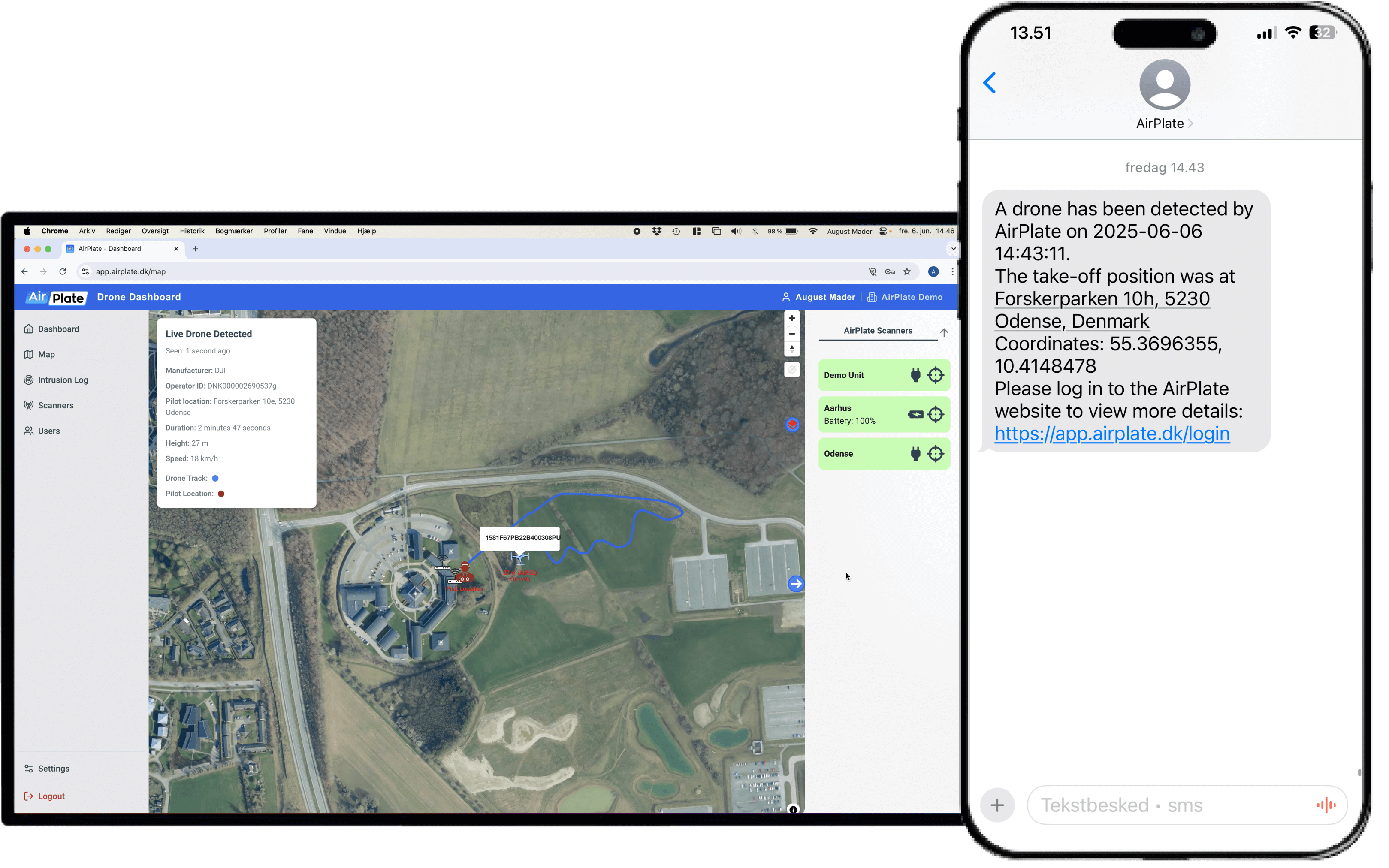

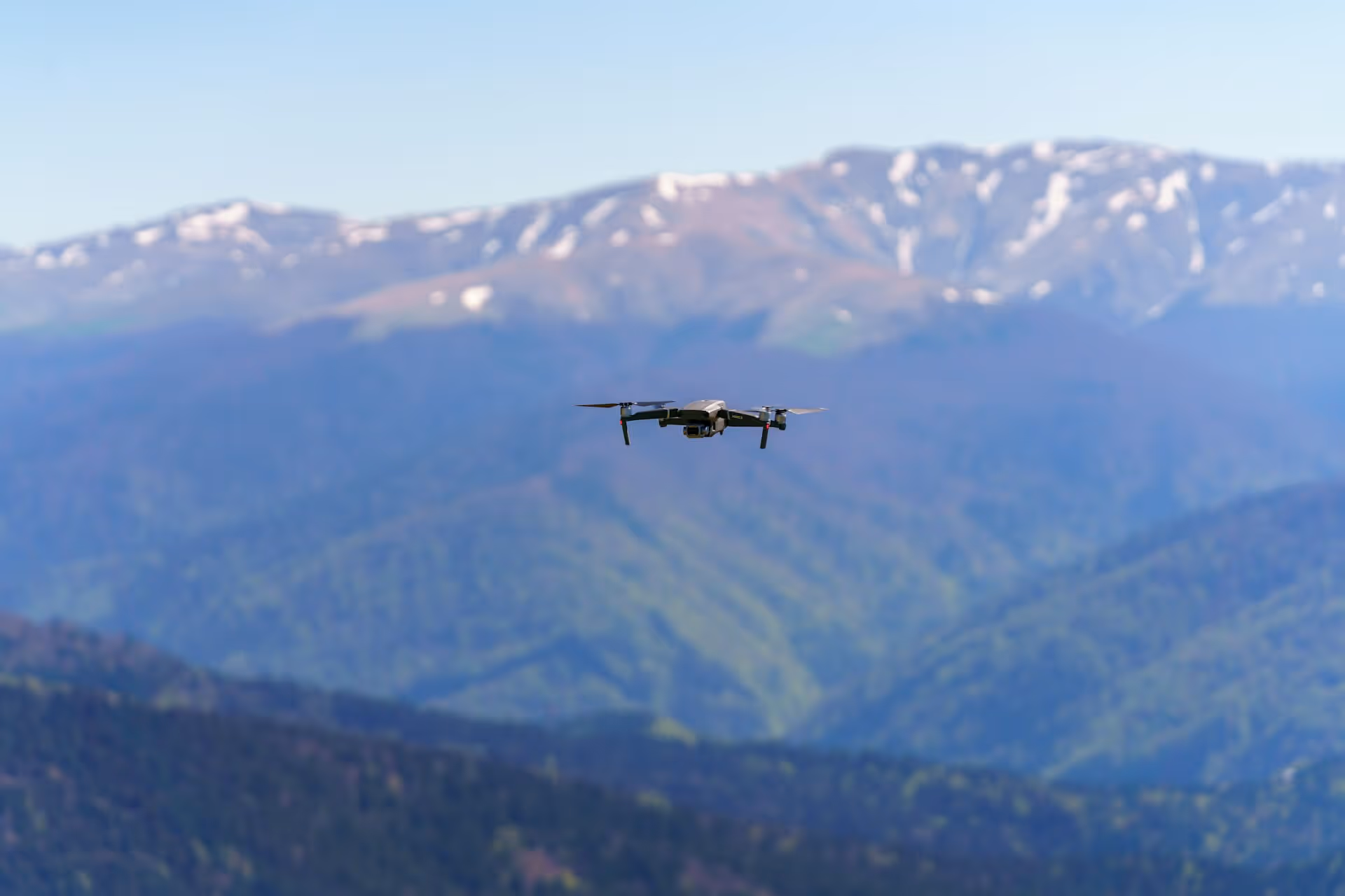
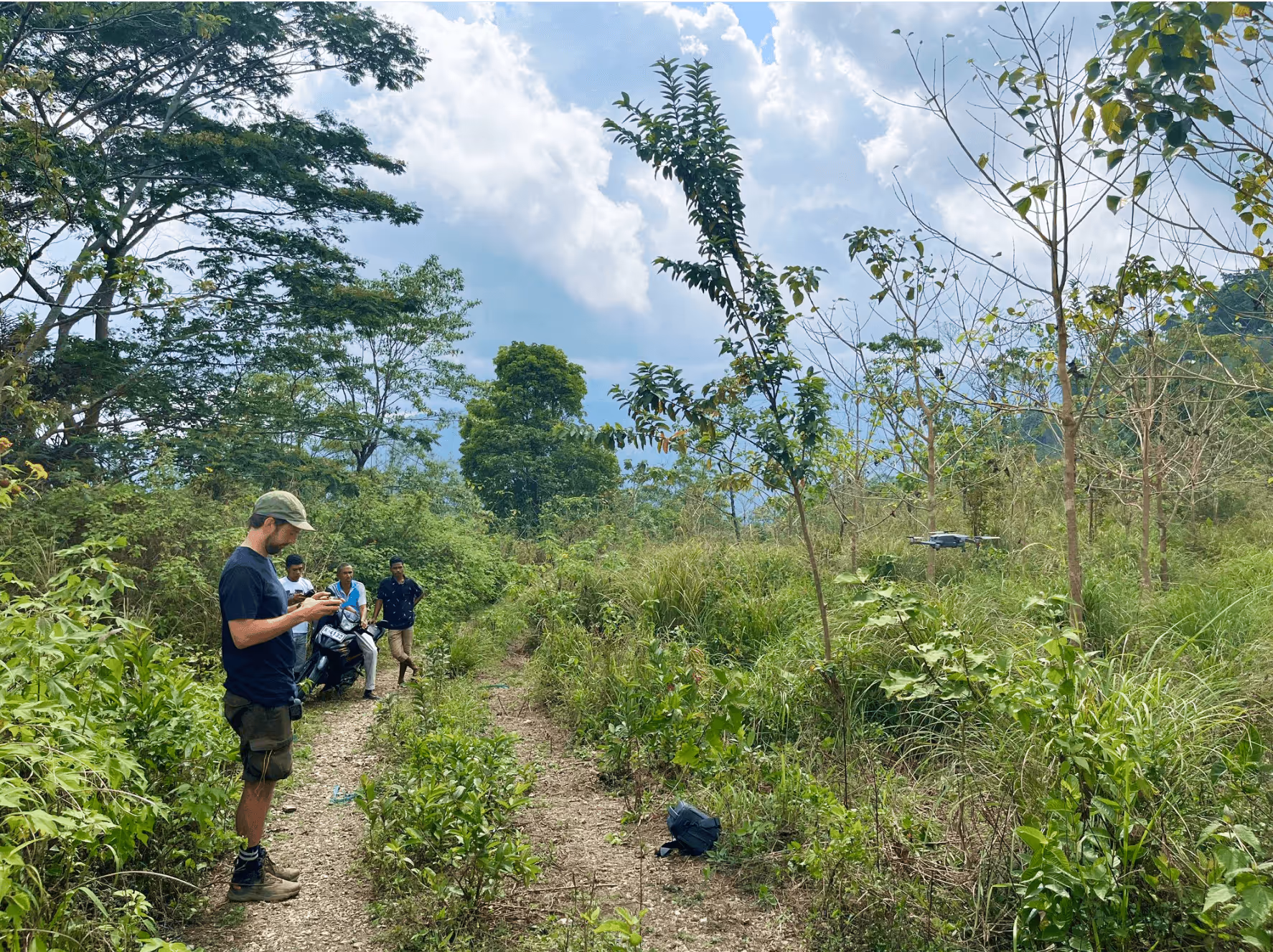
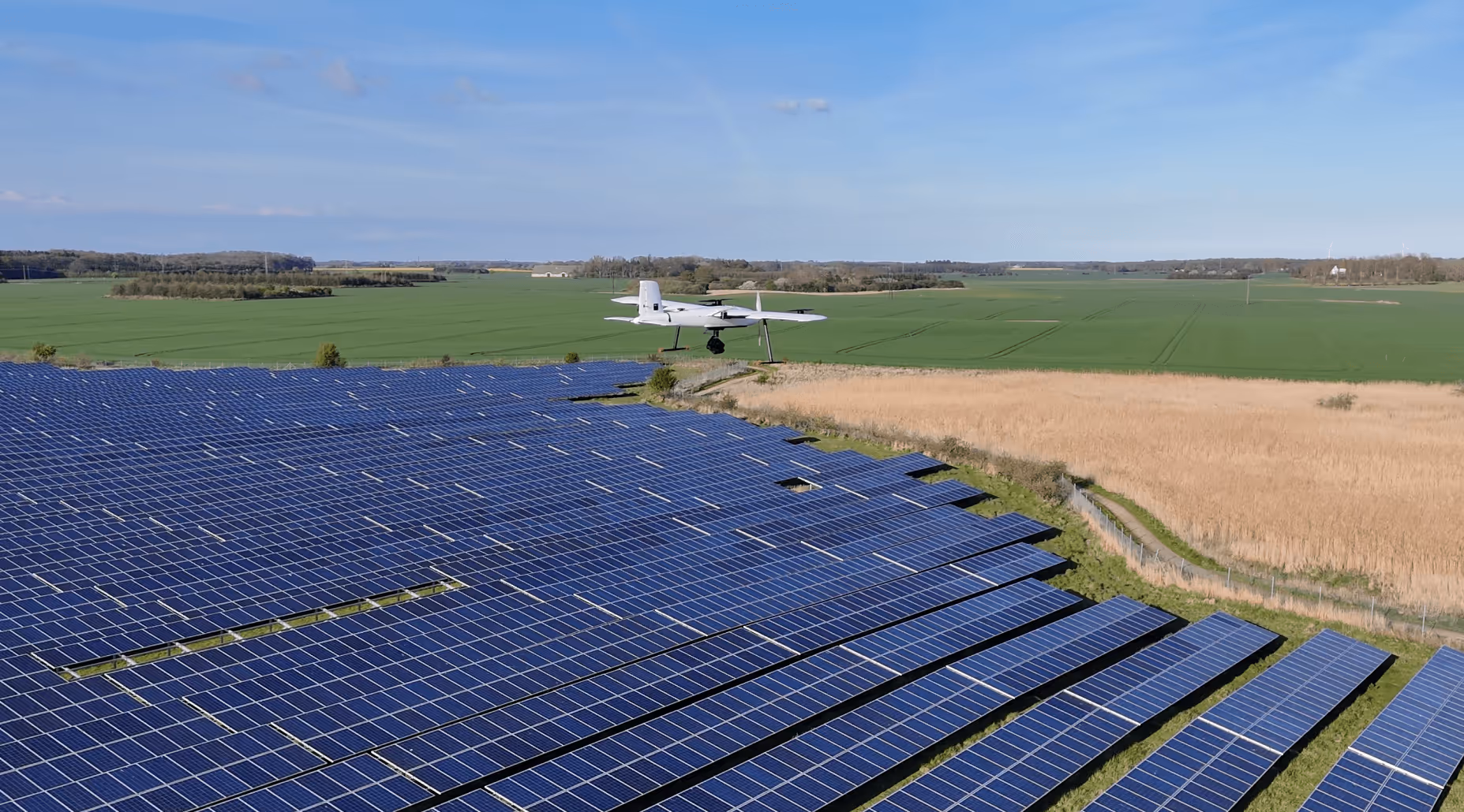
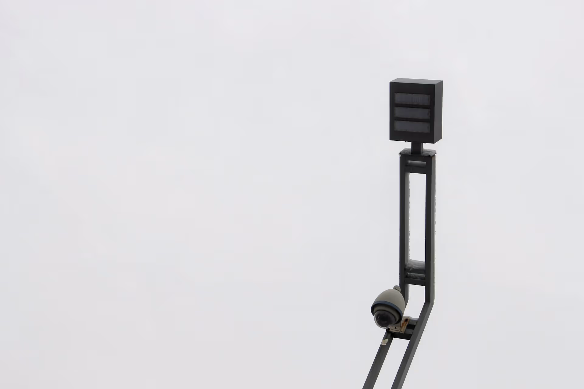
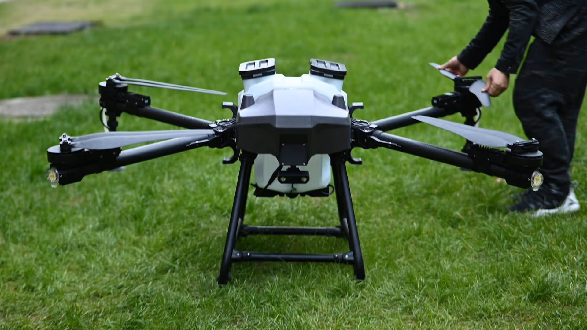
AirPlate develops and delivers drone detection systems for critical infrastructure. We focus on commercial EU drones and use GNSS telemetry from Remote ID and DJI DroneID to determine the live position of the drone and when available the pilot. Our platform fuses GNSS coordinates with site geofences to trigger real time alerts, log evidence and support incident response.
ESA BIC Denmark has supported us with mentoring on commercialization, pricing and procurement readiness. We have also received guidance on product development, service level agreements, and terms and conditions. The program has connected us with expert advisors within: GNSS, navigation and SLA.


Jul 24, 2025
%202.avif)
%202.jpg)


%202.png)


%202.avif)


%202.avif)