Back
Finance & Insurance

From Space to Shipping Markets: How Danish Company Navi Merchant Uses Satellite Data to Predict Freight Prices

Share
Photo: Jakob Carlsen / Copenhagen Merchants Group

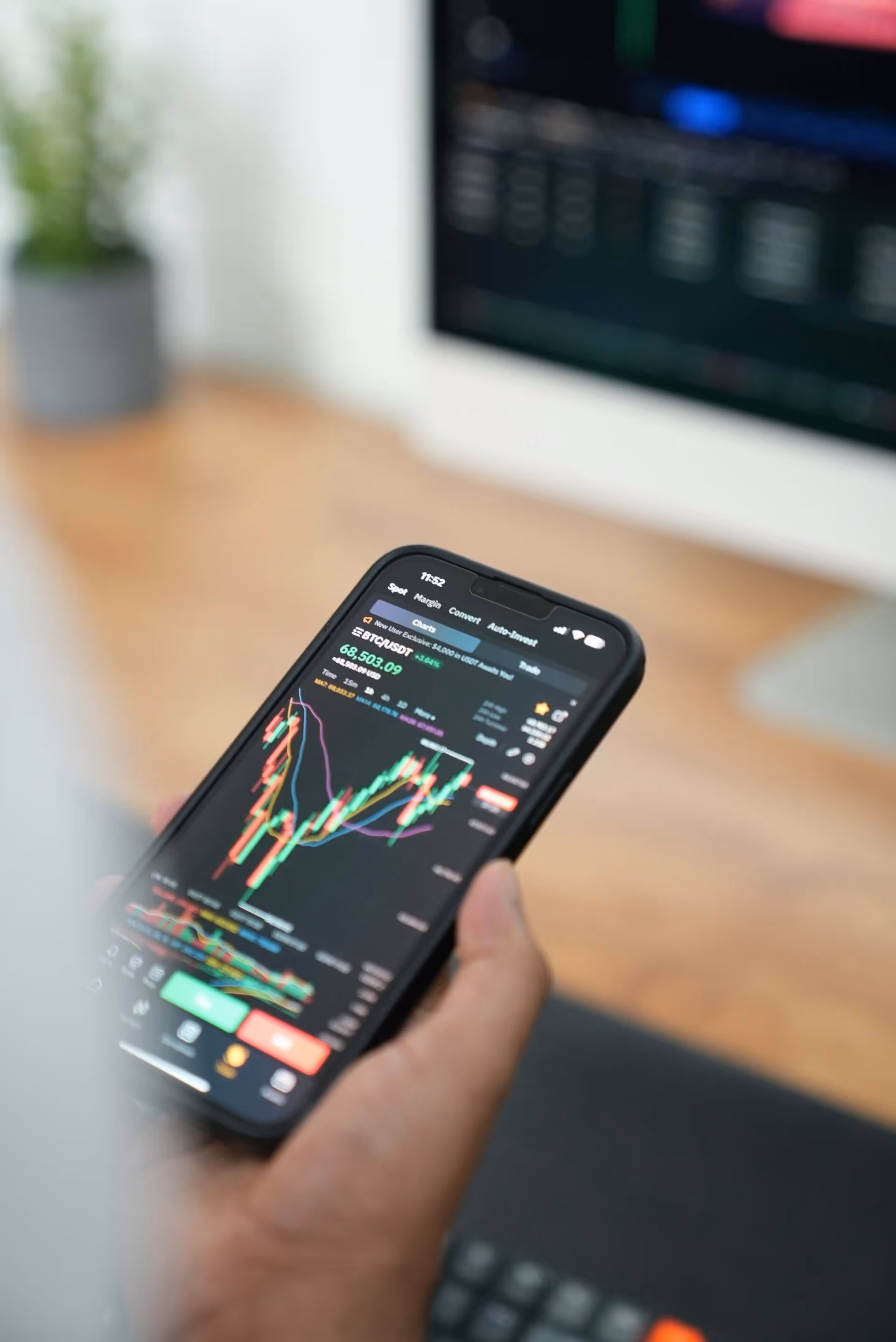
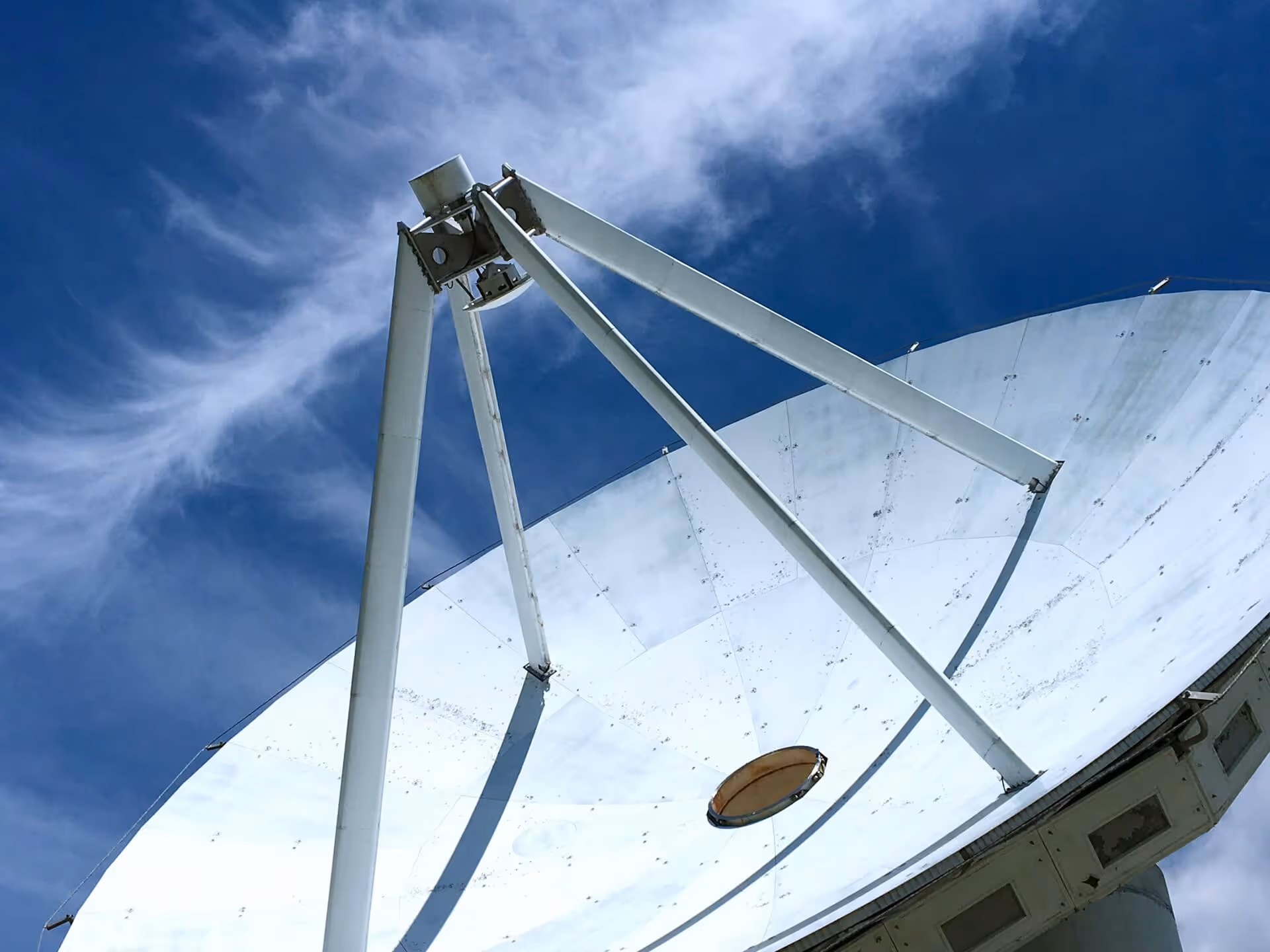
Satellite technology isn’t just for space missions. It’s also helping companies on Earth solve real-world problems. A great example is Navi Merchants, a Danish startup using satellite data to bring more clarity to global shipping markets. Navi Merchants tracks ships around the world using AIS (Automatic Identification System) data. These signals - many of which are picked up by satellites - show where ships are, how fast they’re moving, and where they’re going. By collecting and analyzing this data, Navi Merchants can spot patterns like port congestion or shifts in trade routes.

Using satellite data for market forecasting  

Why does that matter? Because it helps predict how shipping prices will move. For example, if many ships are waiting outside a port, it might signal delays - and rising freight rates. This kind of insight is valuable for shipping companies, traders, and financial analysts who need to make quick, informed decisions. This shows how satellite data - originally developed for navigation and safety at sea - can also be used for business intelligence and market forecasting.

Do you want advice on how to integrate satellite data into your services?

As a Danish company, Navi Merchants is a great example of how businesses in Europe can use satellite data in new ways to improve their solutions and services.  
ESA’s network of Technology Brokers helps companies like Navi Merchants to access space-based tools and apply them in industries like finance and insurance. Contact us to learn more.

Read more about Navi Merchants here
Kathrine Elvira Boysen
Head of External Relations

Related articles

Manufacturing
ThiaX

Jul 24, 2025

Case study
Drones & Robotics
Tess Space

Case study
AI & Big Data
Security
Scurid

Case study
Drones & Robotics
O-Robotics

Case study
AI & Big Data
Byte2BitInsight

Case study
Environment
Animal Detect

Case study
Drones & Robotics
Security
AirPlate

Case study
Agriculture
Agro Risk

Case study
Drones & Robotics
AgriRobot

Case study
Healthcare
Adina Technologies

Case study
Drones & Robotics
Acodyne

Case study
Drones & Robotics
Agriculture
NAUST Robotics

Case study
No items found.
Lightnovo

Case study
N/A
SAGA Space Architects

Case study
N/A
Space Composite Structures Denmark

Case study
Drones & Robotics
Skypuzzler

Case study
N/A
StepUp Horse

Case study
Drones & Robotics
Aerial Tools

Case study
Infrastructure
Social Tech Projects

Case study
N/A
Spiromagic

Drones & Robotics
Klarifi

Case study
Agriculture
KARL

Case study
Healthcare
CHEXS

Case study
Maritime
Upteko

Case study
Fintech
Ekofolio

Case study
Healthcare
NaviBlind

Case study
Drones & Robotics
QuadSAT

Case study
Infrastructure
Copenhagen Trackers

Case study
Maritime
Sternula

Case study
Agriculture
Fauna Smart Technologies

Case study
Drones & Robotics
Capra Robotics

Case study
Agriculture
ClearSky Vision

Case study
Drones & Robotics
Vixos

Case study
N/A
Be MarS

Case study
Maritime
DanaDynamics

Case study
Agriculture
Drones & Robotics
Akson Robotics

Case study
N/A
Glaze Technologies

Case study
N/A
Pilar

N/A
North Propulsion

Case study
Environment
Peatz

Case study
N/A
ATLANT 3D NANOSYSTEMS

Case study
Maritime
Searchmaster

Case study
N/A
QASE Technology

Case study
Environment
Drones & Robotics
Security
Robotto

Case study
Security
Maritime
How Danish Company Tordenskjold Uses Satellite Technology to Enhance Maritime Security

Case study
Maritime
Sensemakers is Transforming the Danish Maritime Environment Using Space

Case study
Manufacturing
From road to orbit: How AIRY’s additive manufacturing for EVs is now building lightweight structures for satellites

Case study
Infrastructure
InnoPilot Leverages Space Technology to Keep Critical Infrastructure Safe and Connected

Case study
Healthcare
How Yuman frees up nurses using robots assistants integrated with GNSS

Case study
Fintech
From Space to Shipping Markets: How Danish Company Navi Merchant Uses Satellite Data to Predict Freight Prices

Case study
Environment
How Klimate uses space to verify forest carbon dioxide removal

Case study
Energy
Aerial Tools Uses Satellite Technology to Improve Energy Efficiency and Solar Maintenance

Case study
Drones & Robotics
How using satellite data helps HectoDrone to map environmental challenges and carry out surveillance in cold isolated areas like Greenland

Case study
AI & Big Data
Using Satellite Data, Atla.ai Delivers Smarter Solutions for Precision Agriculture

Case study
Agriculture
PerPlant Uses Space Technology to Make Precision Agriculture Accessible to All Farmers

Aug 1, 2025

Case study
All
What is a space connection?

Apr 28, 2025

Insight
Environment
Security
Drones & Robotics
17th European Space Conference - 'Galileo - The Next Generation' panel

Oct 5, 2023

Updates & Deadlines
Security
Manufacturing
Maritime
Fintech
Environment
How Danish Graphene proved their product in the space sector and got more clients on earth

Oct 4, 2023

Insight
Maritime
Tips for Sustainable Living

Oct 3, 2023

Webinars
Healthcare
Energy
Security
Innovations in Healthcare

Oct 2, 2023

Case study
Maritime
Drones & Robotics
Fintech
Security
AI & Big Data
Latest Technology News

Oct 1, 2023