Related Content
Contact Person

Amanda Borup Pedersen
ESA BIC MANAGER, DTU
Get in touch
Contact Person

Poul zimmermann nielsen
ESA Technology broker, DTU
Get in touch


The Danish company Klimate helps businesses reach their net-zero by sourcing high-quality carbon removal credits.
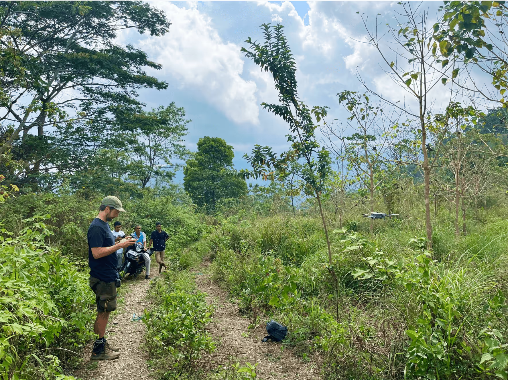
A large part of their work involves forestry projects, where trees capture and store CO2 over time. Verifying whether the forest has removed CO2 from the atmosphere can be challenging, especially in remote areas, like Timor-Leste, where Klimate’s Halo Verde Project took place.
To solve this, Klimate uses satellite data to monitor changes in forest biomass. By analyzing images from ESA’s Sentinel satellites, they can track forest growth over time and provide customers with visual insights into how their supported projects are developing.
By using satellite images to track forest growth, Klimate gives companies a clearer view of how their carbon credits is linked to real climate impact.
The data shows how much the forest has developed over time - an important signal of how much carbon is being stored in the trees.
Assessing carbon storage in remote forests can be tricky, but by combining on-the-ground knowledge gathering with remote sensing capabilities, we can obtain a much better understanding of the potential strengths and weaknesses of a project. Using a system that monitors carbon removal projects in forests around the world with satellite data can lower the risk of buying unreliable or poor-quality carbon credits. This can result in improved trust in forestry carbon credits. In the future, monitoring systems could also be used for other types of projects, such as ocean carbon removal, or technologies that remove carbon from the air. - Klimate
Klimate’s work shows how satellite technology can bring greater clarity and reliability to carbon removal efforts. If your organization is involved in sustainability or land-based climate projects, ESA’s network of Technology Brokers can help you explore how Earth observation can enhance your solutions.
Contact us to get started.
