Back

Infrastructure

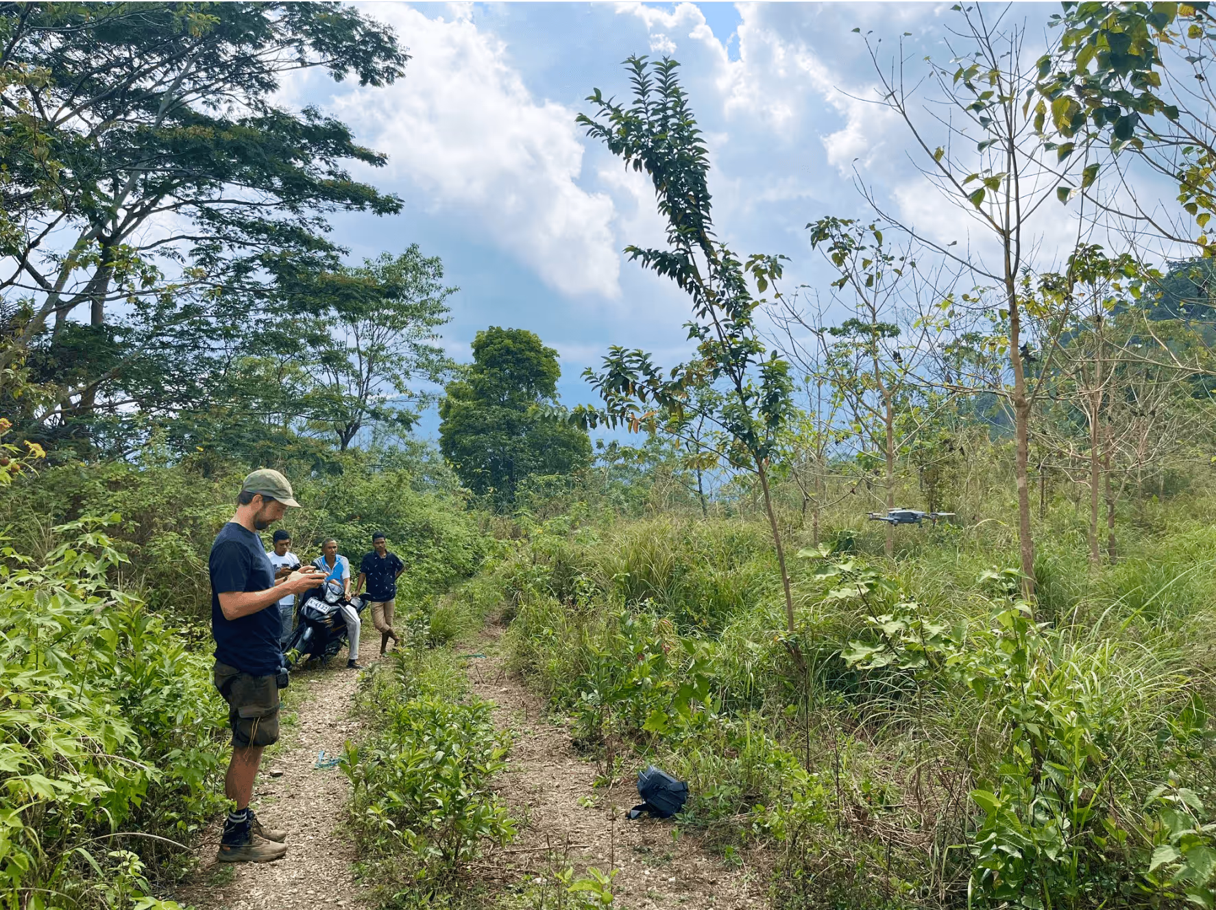
Space-based applications for infrastructure monitoring are particularly valuable as they extend beyond traditional ground-based monitoring

Credits: Karl Hornfeldt Unsplash

Unlocking Infrastructure Insights from Space

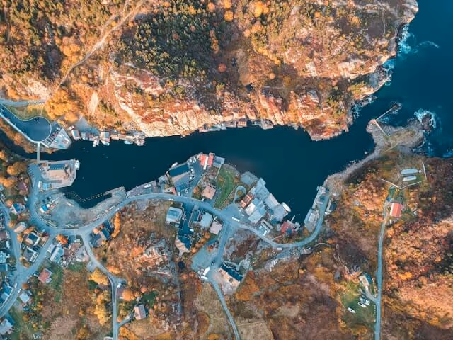
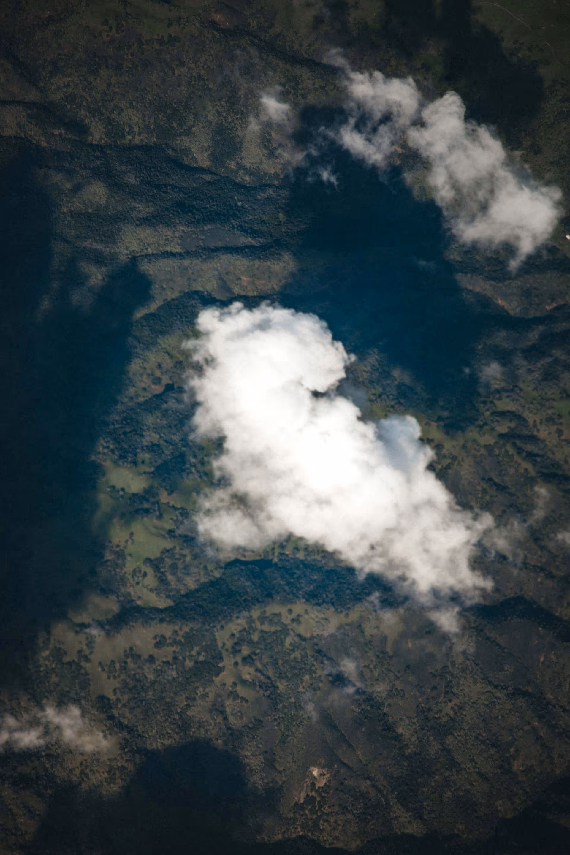
Space-based applications for infrastructure monitoring provide frequent, wide-area insights through satellite imagery. This enables more objective planning, monitoring, and decision-making across the lifecycle of construction projects.

Satellite data also supports disaster preparedness, helping identify weak points in infrastructure and areas at risk from natural hazards. This allows authorities to take early action and build resilience as extreme weather events and natural disasters increase due to climate change. When disasters strike, satellite communication and positioning systems help maintain connectivity, especially in remote or affected areas.

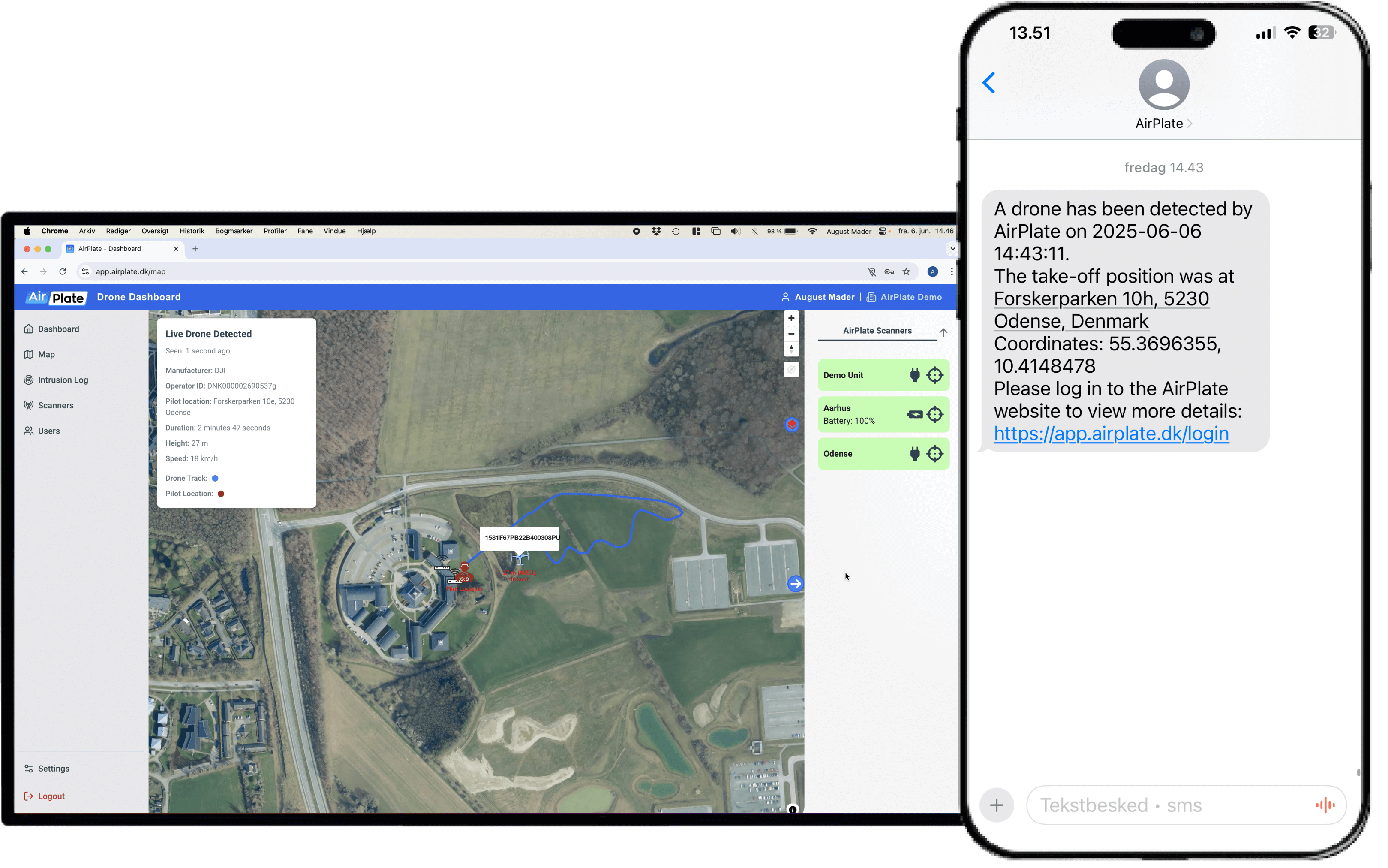
Globally, satellite-based systems like GNSS and SatCOM are changing how infrastructure is managed. They enable real-time data sharing and remote control of assets across vast distances. Combined with the Internet of Things (IoT), which connects physical devices to digital networks, space technologies are making infrastructure smarter, more responsive, and more resilient - helping pave the way for sustainable and connected communities.

//
Examples of USE

Gain advantages in monitoring transportation infrastructure

Satellite data helps identify flood zones, landslide risks, or structural vulnerabilities before disasters strike, supporting early action and more resilient infrastructure planning.

Monitor ground deformation with millimetric accuracy

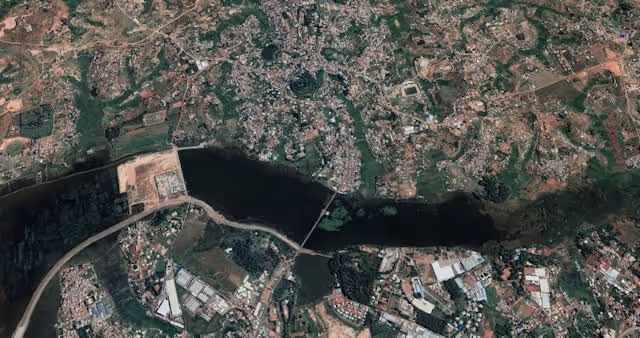
Using InSAR – a technique that compares SAR images over time for changes – it is possible to detect millimetric ground or structure movements over time, all the way from space. This helps ensure safety during and after the construction of large infrastructure like dams, bridges, or metro tunnels.

Enable disaster preparedness

Satellite data helps identify flood zones, landslide risks, or structural vulnerabilities before disasters strike, supporting early action and more resilient infrastructure planning.

Strengthening connectivity through Internet of Things (IoT)

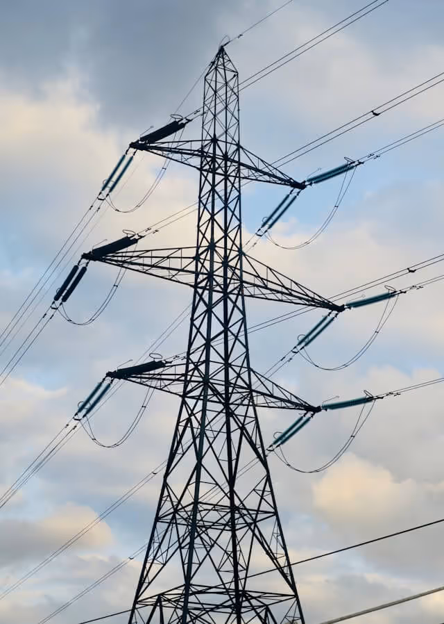
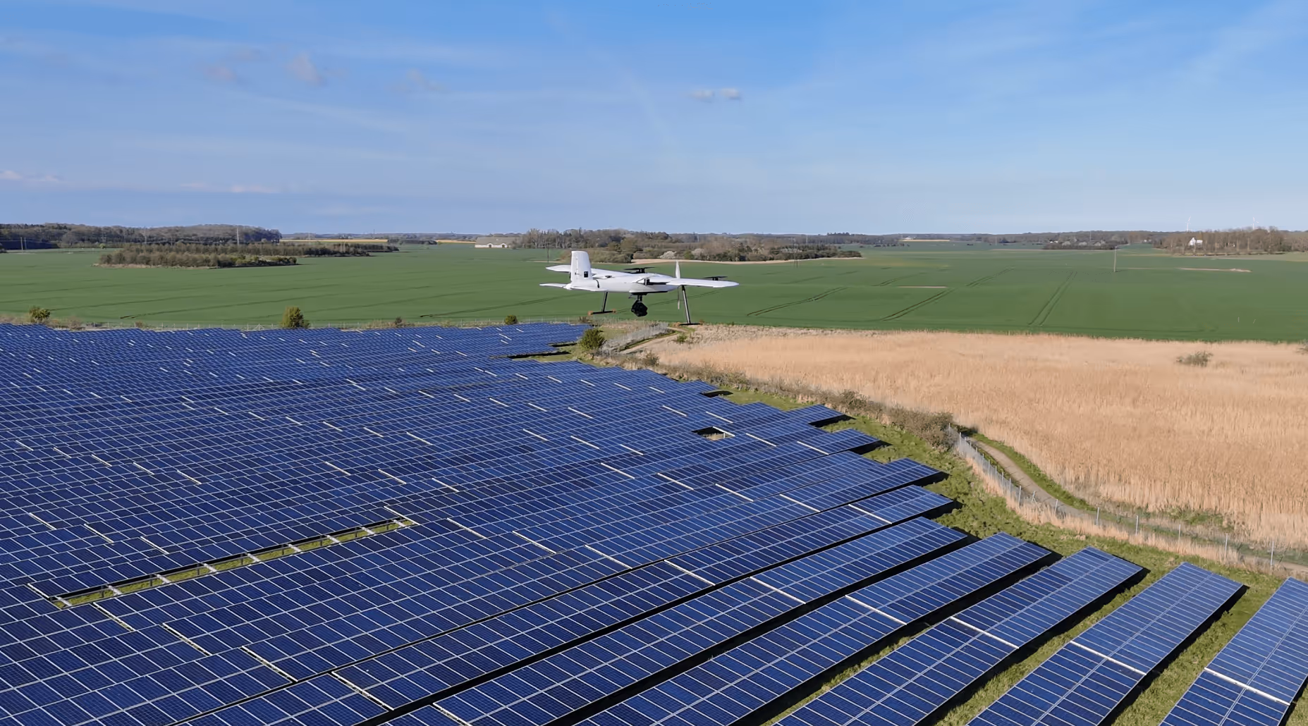
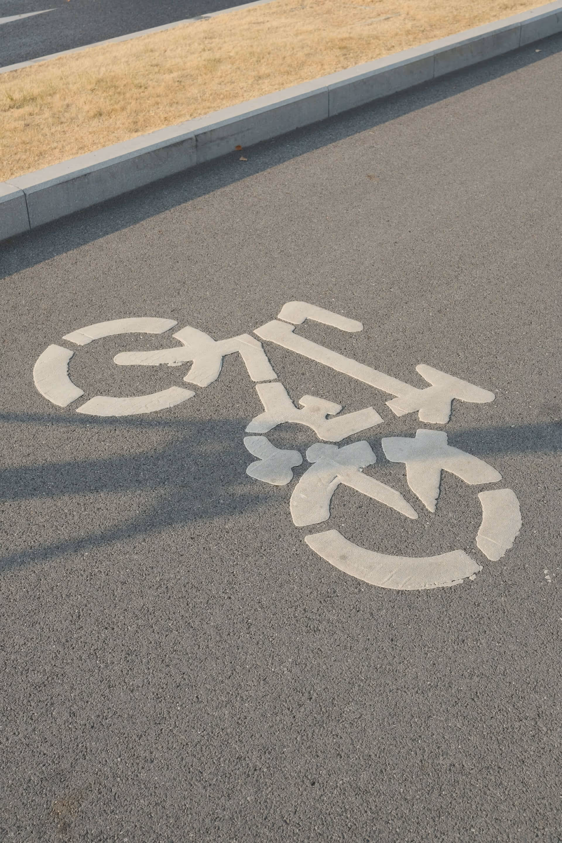
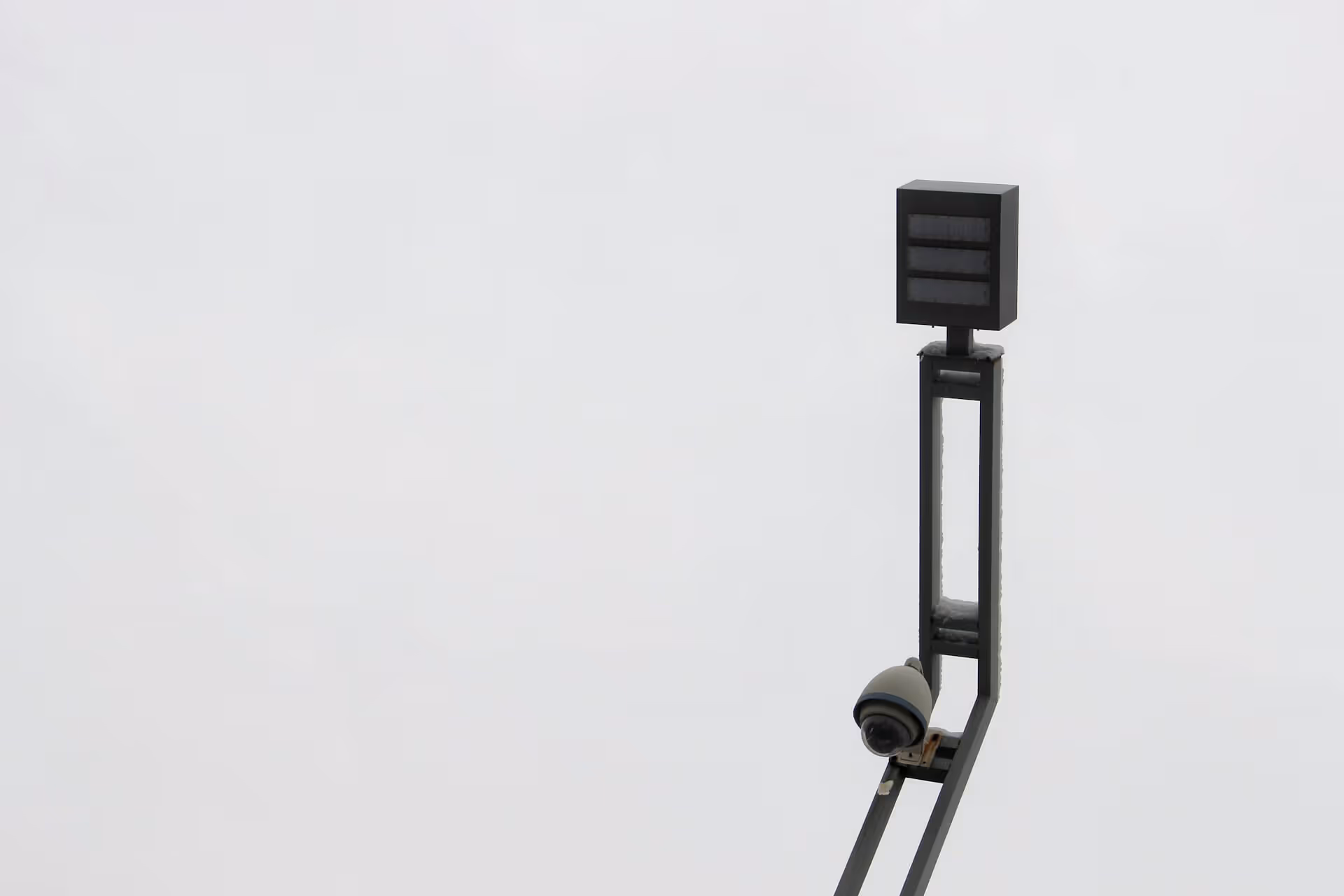
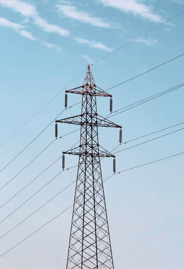
Satellites enhance connectivity for IoT devices in both urban and rural areas, enabling real-time monitoring of various infrastructure conditions such as traffic or the energy grid - supporting smarter, more responsive city systems.

Achieve more effective post-disaster response

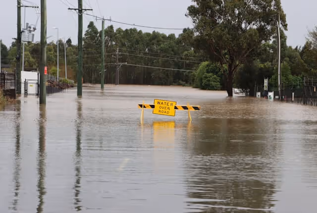
Following disasters, satellite imagery provides rapid, wide-area damage assessments of roads, bridges, and buildings—helping authorities prioritize emergency response and infrastructure repair in an objective, efficient manner.

Improved environmental monitoring

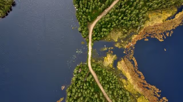
Space-based data tracks vegetation, erosion, and water levels near infrastructure construction sites, helping ensure projects stay compliant with environmental regulations and avoid long-term damage.

Related Resources

Infrastructure
Social Tech Projects

Case study
Infrastructure
Copenhagen Trackers

Case study
Infrastructure
InnoPilot Leverages Space Technology to Keep Critical Infrastructure Safe and Connected

Case study
//
stay updated

opportunities in the commercial space sector

Thank you! Your submission has been received!
Oops! Something went wrong while submitting the form.
Back

Heading

Lorem ipsum dolor sit amet, consectetur adipiscing elit. Suspendisse varius enim in eros elementum tristique. Duis cursus, mi quis viverra ornare, eros dolor interdum nulla, ut commodo diam libero vitae erat. Aenean faucibus nibh et justo cursus id rutrum lorem imperdiet. Nunc ut sem vitae risus tristique posuere.

Caption text

Heading 1

Heading 2

Heading 3

Heading 4

Heading 5
Heading 6

Lorem ipsum dolor sit amet, consectetur adipiscing elit, sed do eiusmod tempor incididunt ut labore et dolore magna aliqua. Ut enim ad minim veniam, quis nostrud exercitation ullamco laboris nisi ut aliquip ex ea commodo consequat. Duis aute irure dolor in reprehenderit in voluptate velit esse cillum dolore eu fugiat nulla pariatur.

Block quote

Ordered list

  1. Item 1
  2. Item 2
  3. Item 3

Unordered list

  • Item A
  • Item B
  • Item C

Text link

Bold text

Emphasis

Superscript

Subscript

//
Examples of USE

How finance and insurance companies use earth observations

Heading

Lorem ipsum dolor sit amet, consectetur adipiscing elit. Suspendisse varius enim in eros elementum tristique. Duis cursus, mi quis viverra ornare, eros dolor interdum nulla, ut commodo diam libero vitae erat. Aenean faucibus nibh et justo cursus id rutrum lorem imperdiet. Nunc ut sem vitae risus tristique posuere.

Related Resources

Manufacturing
ThiaX

Jul 24, 2025

Case study
Drones & Robotics
Tess Space

Case study
AI & Big Data
Security
Scurid

Case study
Drones & Robotics
O-Robotics

Case study
AI & Big Data
Byte2BitInsight

Case study
Environment
Animal Detect

Case study
Drones & Robotics
Security
AirPlate

Case study
Agriculture
Agro Risk

Case study
Drones & Robotics
AgriRobot

Case study
Healthcare
Adina Technologies

Case study
Drones & Robotics
Acodyne

Case study
Drones & Robotics
Agriculture
NAUST Robotics

Case study
No items found.
Lightnovo

Case study
N/A
SAGA Space Architects

Case study
N/A
Space Composite Structures Denmark

Case study
Drones & Robotics
Skypuzzler

Case study
N/A
StepUp Horse

Case study
Drones & Robotics
Aerial Tools

Case study
Infrastructure
Social Tech Projects

Case study
N/A
Spiromagic

Drones & Robotics
Klarifi

Case study
Agriculture
KARL

Case study
Healthcare
CHEXS

Case study
Maritime
Upteko

Case study
Fintech
Ekofolio

Case study
Healthcare
NaviBlind

Case study
Drones & Robotics
QuadSAT

Case study
Infrastructure
Copenhagen Trackers

Case study
Maritime
Sternula

Case study
Agriculture
Fauna Smart Technologies

Case study
Drones & Robotics
Capra Robotics

Case study
Agriculture
ClearSky Vision

Case study
Drones & Robotics
Vixos

Case study
N/A
Be MarS

Case study
Maritime
DanaDynamics

Case study
Agriculture
Drones & Robotics
Akson Robotics

Case study
N/A
Glaze Technologies

Case study
N/A
Pilar

N/A
North Propulsion

Case study
Environment
Peatz

Case study
N/A
ATLANT 3D NANOSYSTEMS

Case study
Maritime
Searchmaster

Case study
N/A
QASE Technology

Case study
Environment
Drones & Robotics
Security
Robotto

Case study
Security
Maritime
How Danish Company Tordenskjold Uses Satellite Technology to Enhance Maritime Security

Case study
Maritime
Sensemakers is Transforming the Danish Maritime Environment Using Space

Case study
Manufacturing
From road to orbit: How AIRY’s additive manufacturing for EVs is now building lightweight structures for satellites

Case study
Infrastructure
InnoPilot Leverages Space Technology to Keep Critical Infrastructure Safe and Connected

Case study
Healthcare
How Yuman frees up nurses using robots assistants integrated with GNSS

Case study
Fintech
From Space to Shipping Markets: How Danish Company Navi Merchant Uses Satellite Data to Predict Freight Prices

Case study
Environment
How Klimate uses space to verify forest carbon dioxide removal

Case study
Energy
Aerial Tools Uses Satellite Technology to Improve Energy Efficiency and Solar Maintenance

Case study
Drones & Robotics
How using satellite data helps HectoDrone to map environmental challenges and carry out surveillance in cold isolated areas like Greenland

Case study
AI & Big Data
Using Satellite Data, Atla.ai Delivers Smarter Solutions for Precision Agriculture

Case study
Agriculture
PerPlant Uses Space Technology to Make Precision Agriculture Accessible to All Farmers

Aug 1, 2025

Case study
All
What is a space connection?

Apr 28, 2025

Insight
Environment
Security
Drones & Robotics
17th European Space Conference - 'Galileo - The Next Generation' panel

Oct 5, 2023

Updates & Deadlines
Security
Manufacturing
Maritime
Fintech
Environment
How Danish Graphene proved their product in the space sector and got more clients on earth

Oct 4, 2023

Insight
Maritime
Tips for Sustainable Living

Oct 3, 2023

Webinars
Healthcare
Energy
Security
Innovations in Healthcare

Oct 2, 2023

Case study
Maritime
Drones & Robotics
Fintech
Security
AI & Big Data
Latest Technology News

Oct 1, 2023

//
stay updated

opportunities in the commercial space sector

Thank you! Your submission has been received!
Oops! Something went wrong while submitting the form.