

.avif)


Drones & Robotics
Drones and robotics can benefit significantly from satellite positioning and communication technologies

Satellite Technologies are Enabling New Commercial Services Using Drones and Robotics
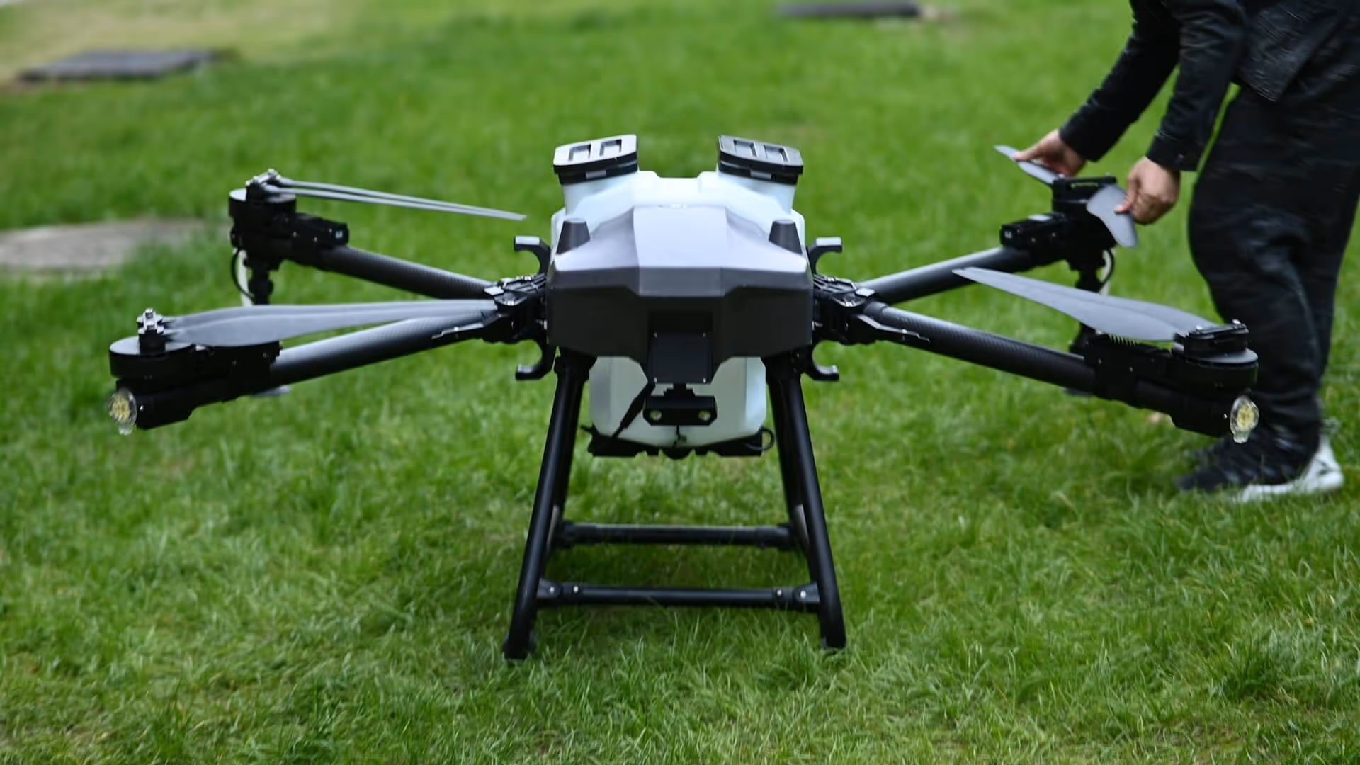
The drone sector has a clear vision for the development and thriving of a viable drone ecosystem in the EU. Today, drones are already used across areas such as transport and delivery, telecommunications and weather and pollution monitoring, agriculture, construction, surveillance, film-making, healthcare, medical emergency, energy, environment, and public safety and security. The European Drone Strategy 2.0establishes different actions like using advanced GNSS data to improve activities within these sectors. It is also estimated that these actions will enable this multibillion market and create an estimated 145 thousand jobs within the EU.
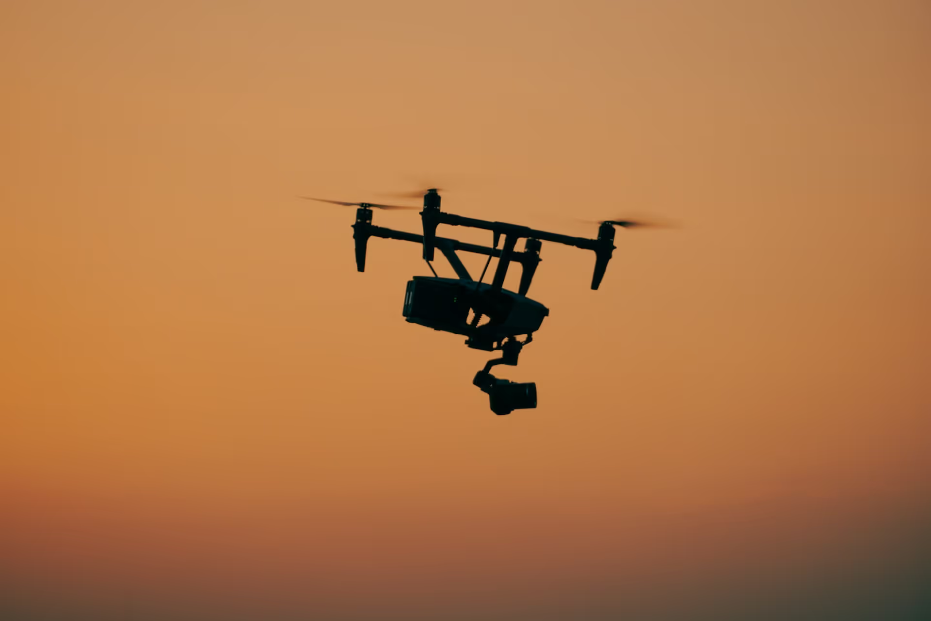
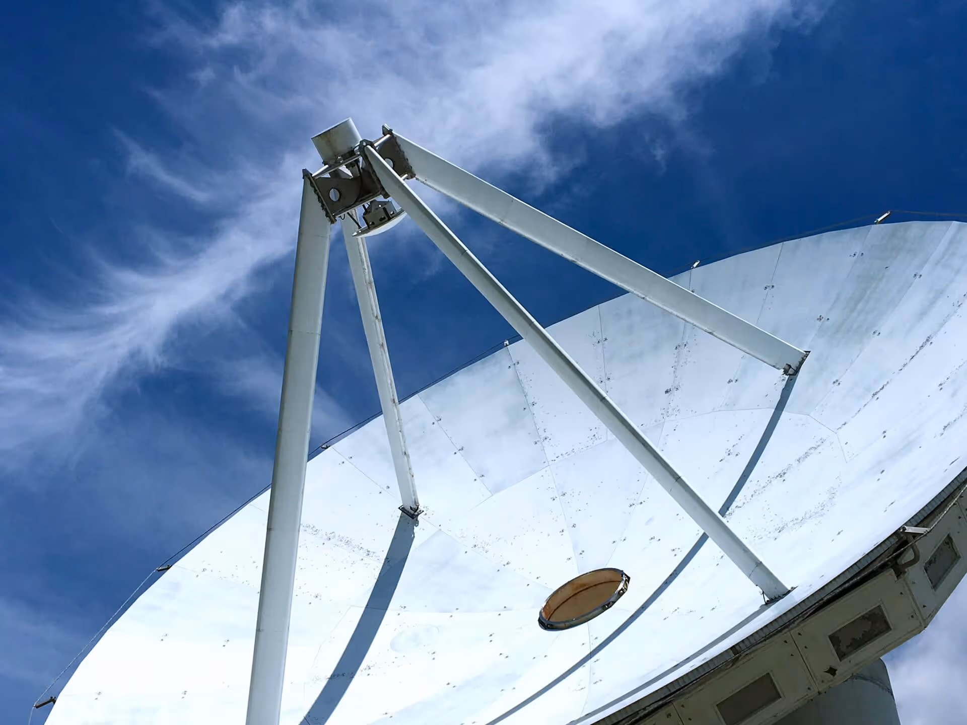
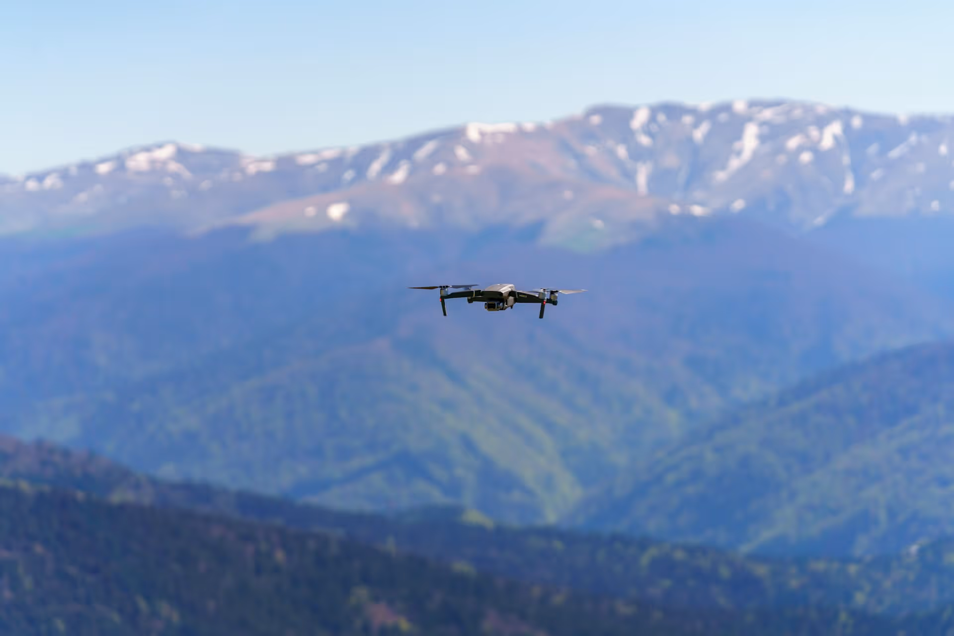
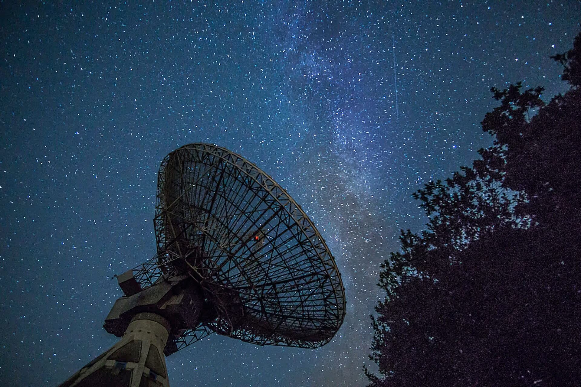
Unmanned aviation has grown a lot in recent years, and GNSS (Global Navigation Satellite Systems) plays a key role in helping drones know where they are and safely share airspace with manned aircraft. When combined with SBAS (Satellite-Based Augmentation Systems), it provides the high precision needed for advanced operations like autonomous flights.
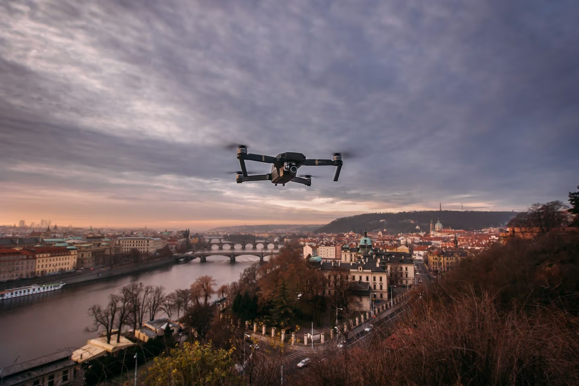
Earth Observation (EO) data is also important for both manned and unmanned flights. It helps predict things like ash cloud movements, so airlines, airports, and air traffic services can plan safer, more environmentally friendly routes. When used with other data sources like elevation models and population density, EO data also helps assess ground risk for drone operations.
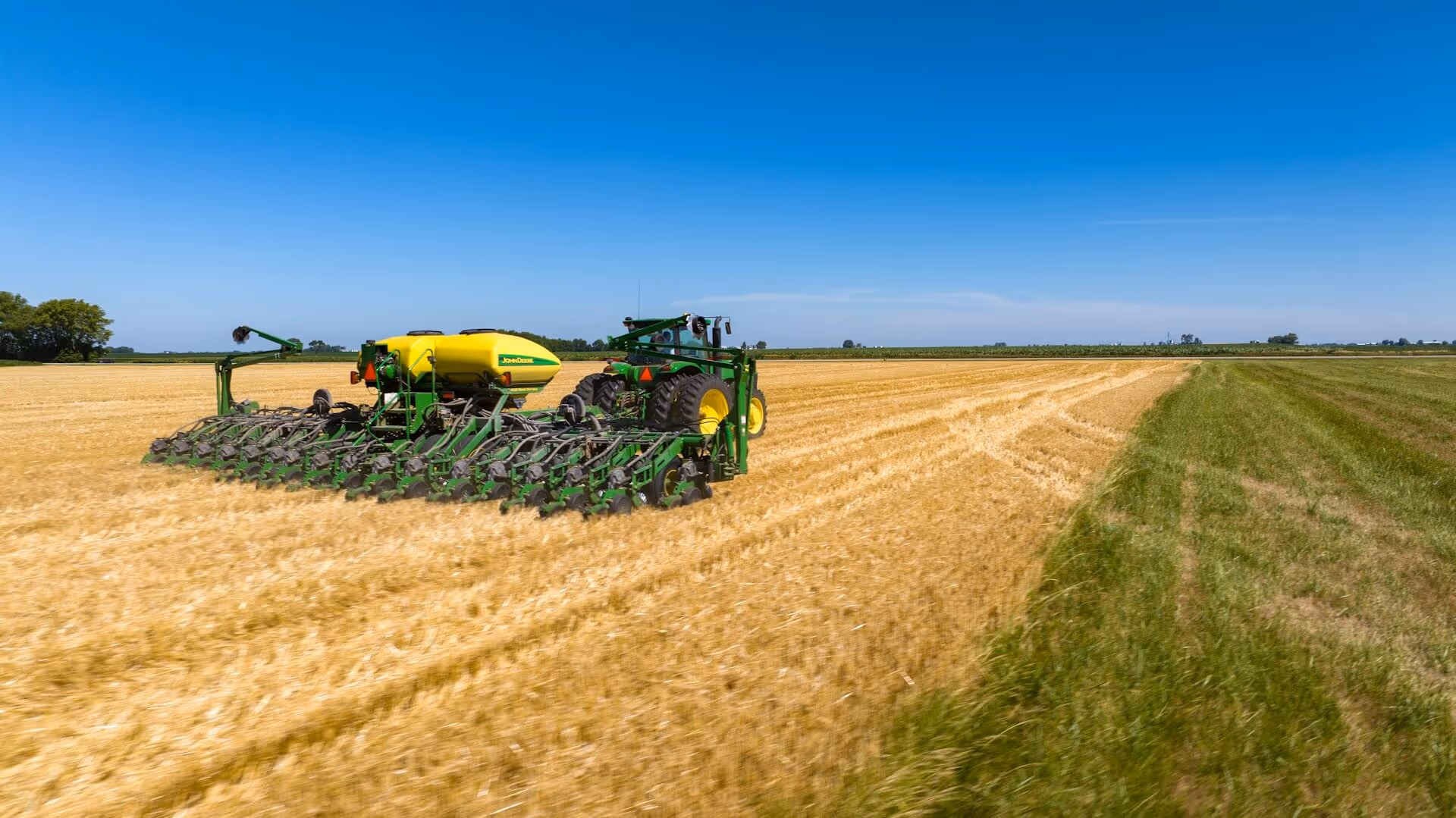
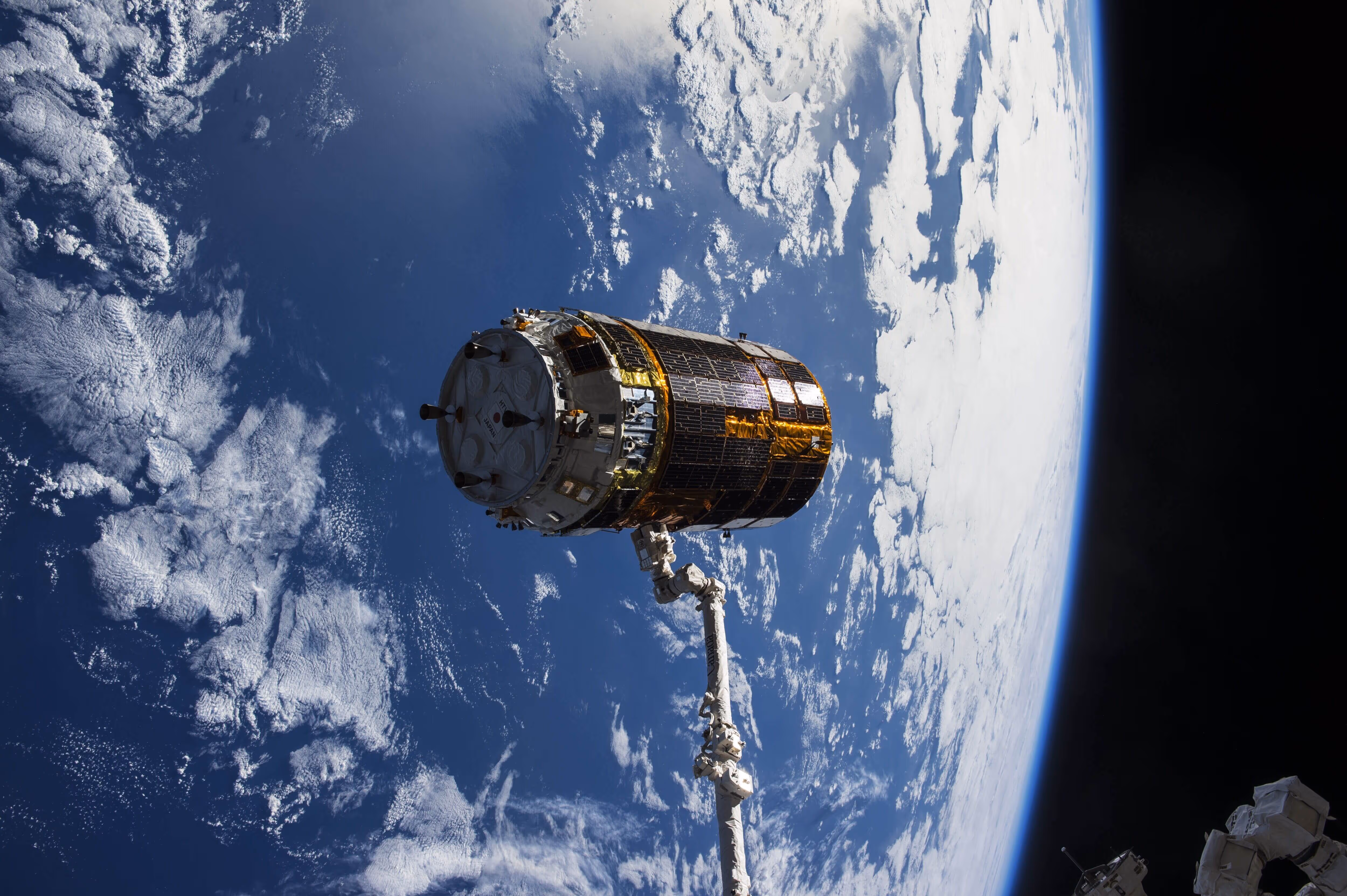
For robotics, the integration of satellite data enables a range of advanced applications, from precision farming and automated logistics to infrastructure inspection and urban mobility. By combining GNSS, EO, and satellite communications, robotics systems can operate with greater autonomy, resilience, and environmental awareness.
How Drones and Robotics companies use earth observations
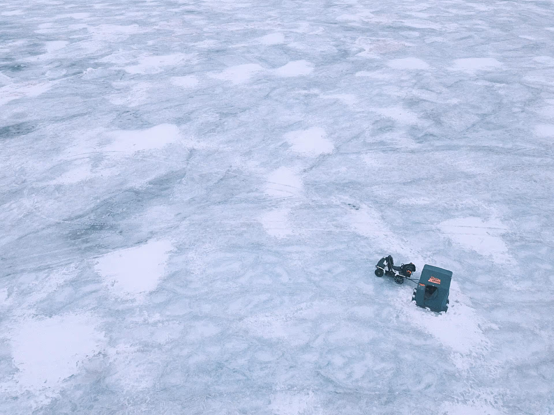
Drones rely on satellite navigation for safe routing and delivery in rural or disaster-affected areas where traditional networks are unavailable.
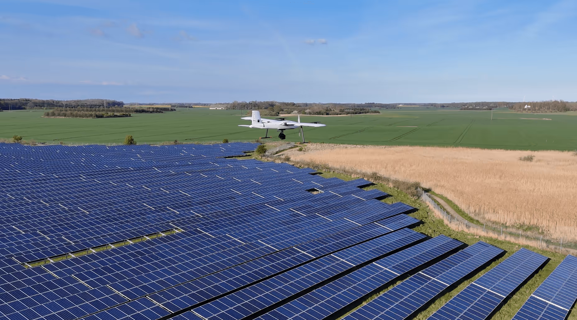
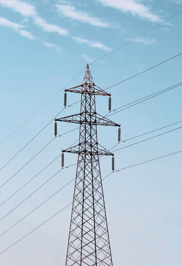
Robotic systems equipped with SatCom and EO data inspect pipelines, power lines, or bridges, especially in remote or inaccessible areas.

Drones rely on satellite navigation for safe routing and delivery in rural or disaster-affected areas where traditional networks are unavailable.
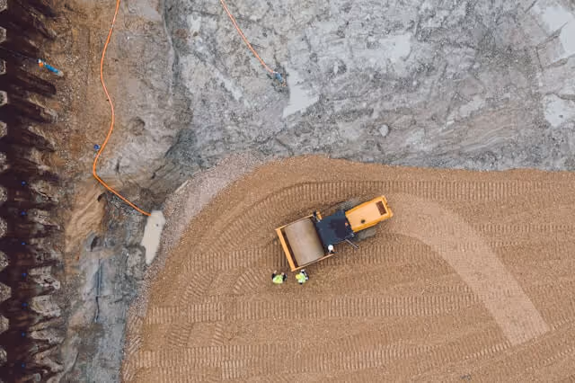
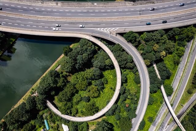
Robots enabled with GNSS collect data and generate 3D models of construction sites for better planning and progress tracking in real time.
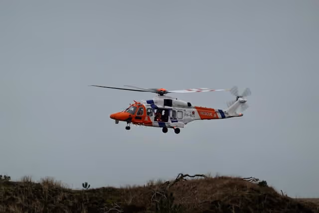
Robots and drones integrated with EO and GNSS support emergency response teams by locating survivors and assessing damage in hazardous zones.

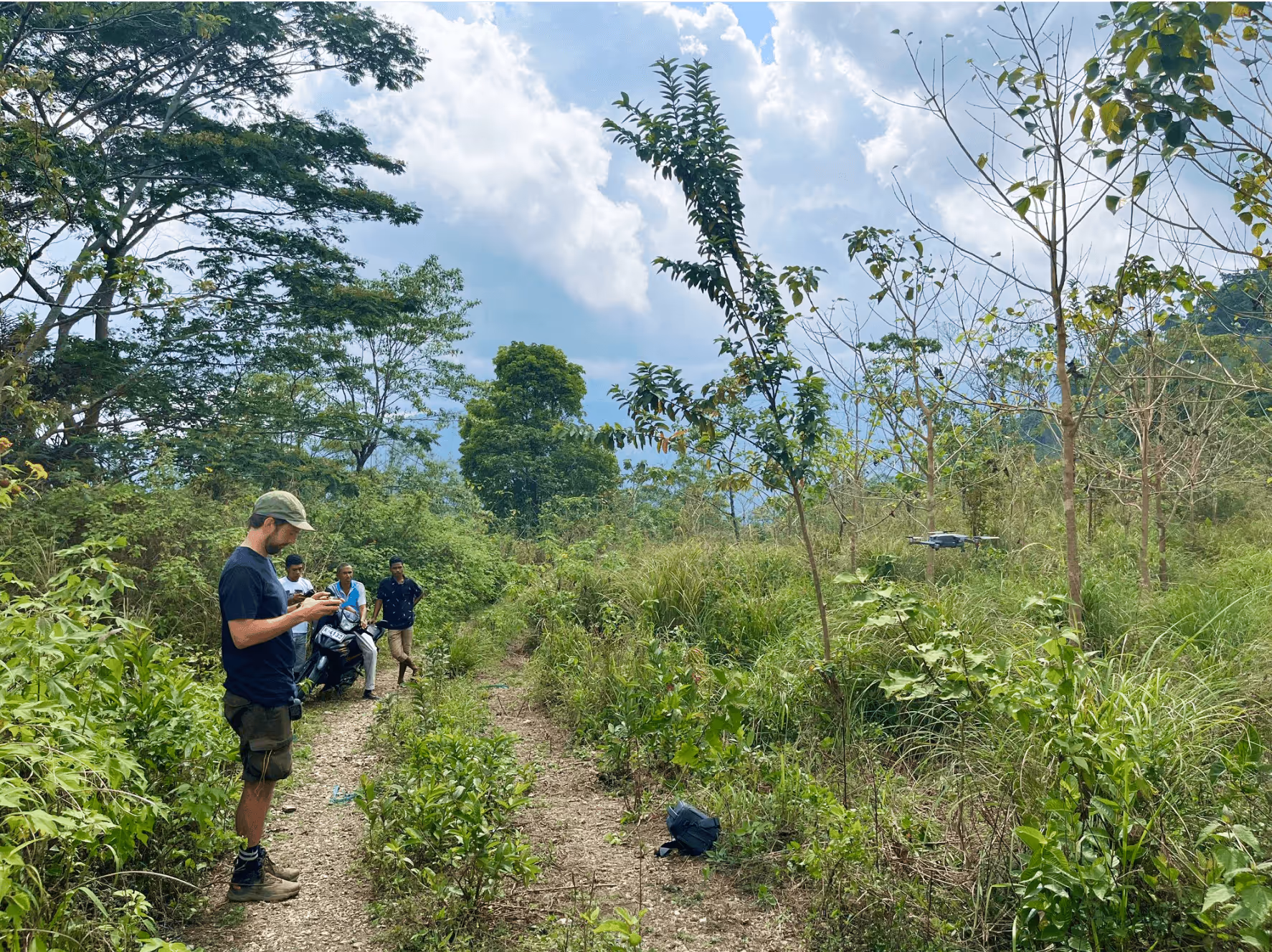
Drones gather EO and atmospheric data to monitor wildlife, assess biodiversity, and track deforestation or coastal erosion.

Related Resources


%202.avif)


.avif)


%202.png)


%202.avif)


%202.avif)

%202.jpg)